
Touring Arizona 2011 |
See the locations where I took the pictures on the tour in Google Earth. You can also tour the Gigapan panoramas in Google Earth
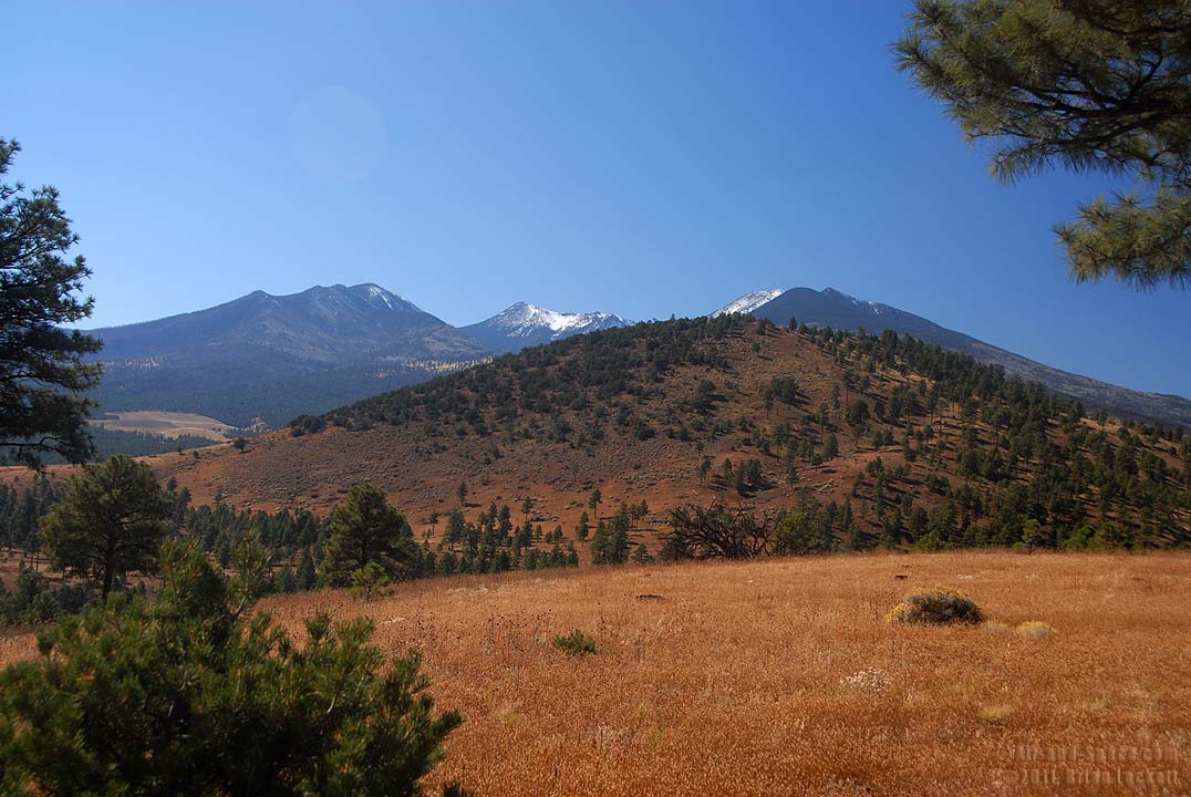
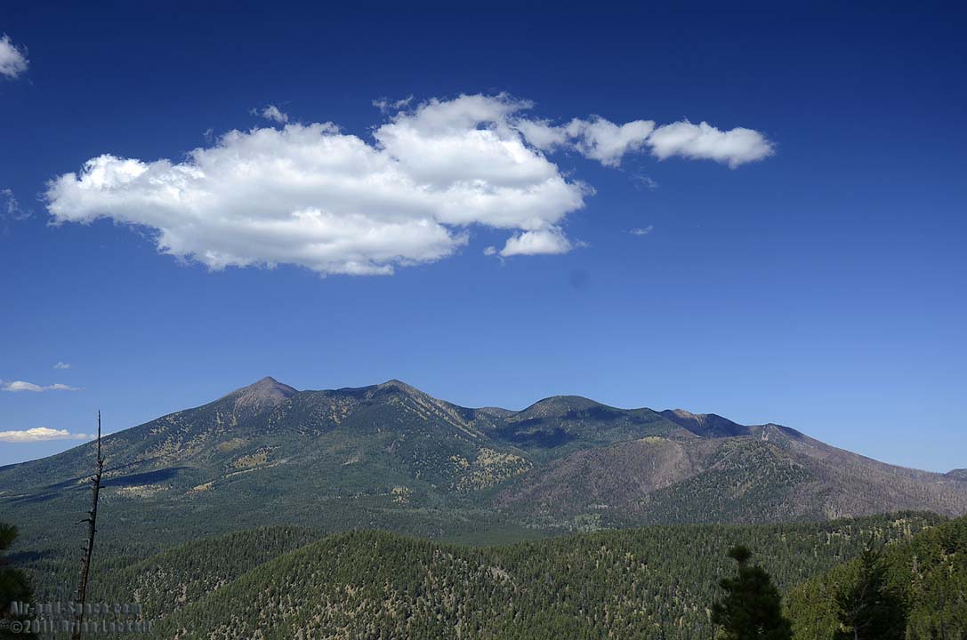
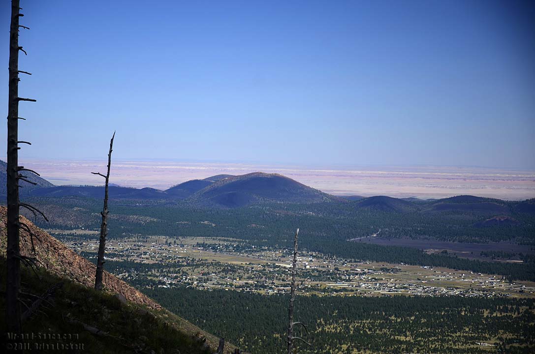
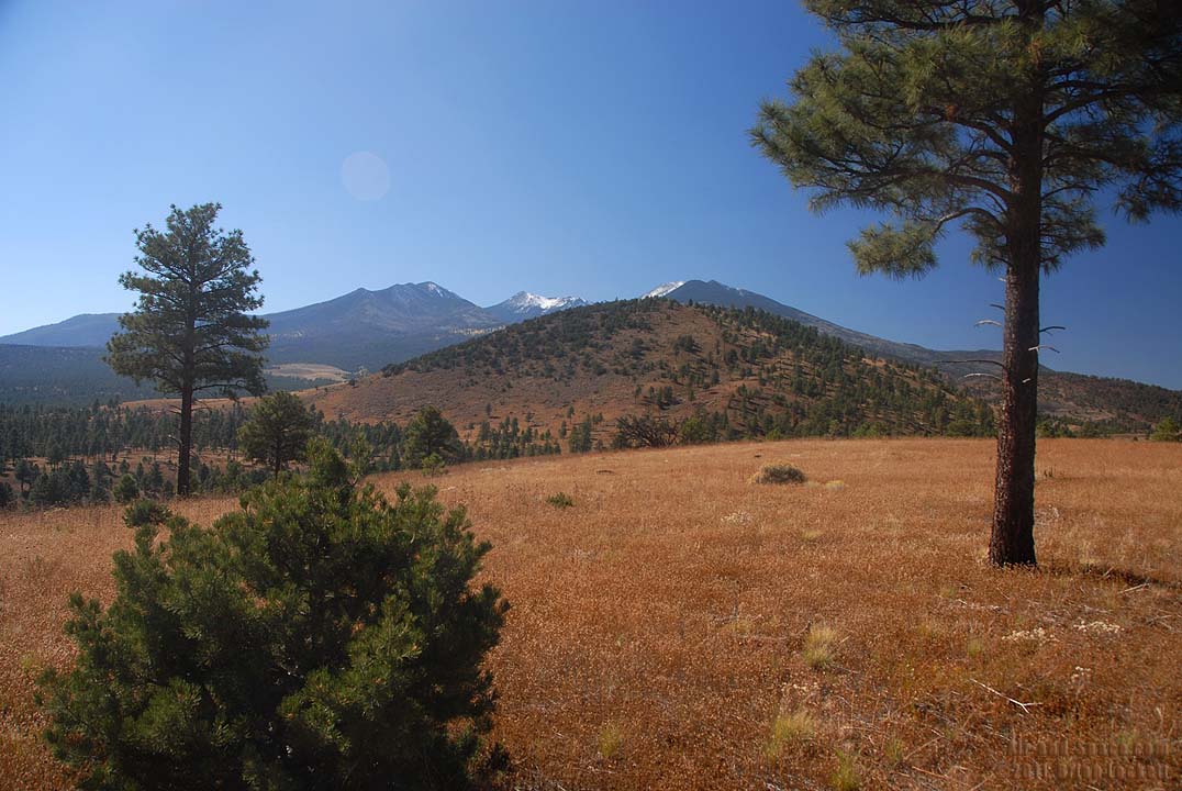 San Francisco Peaks seen from Robinson Crater hear Sunset Crater.
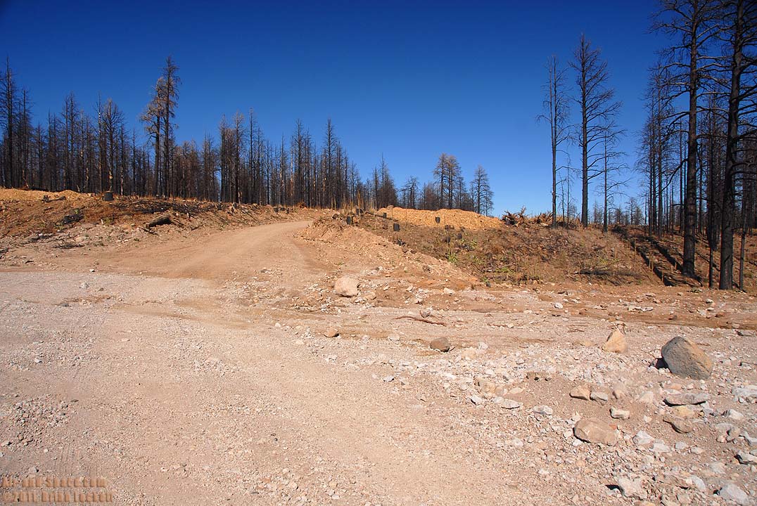
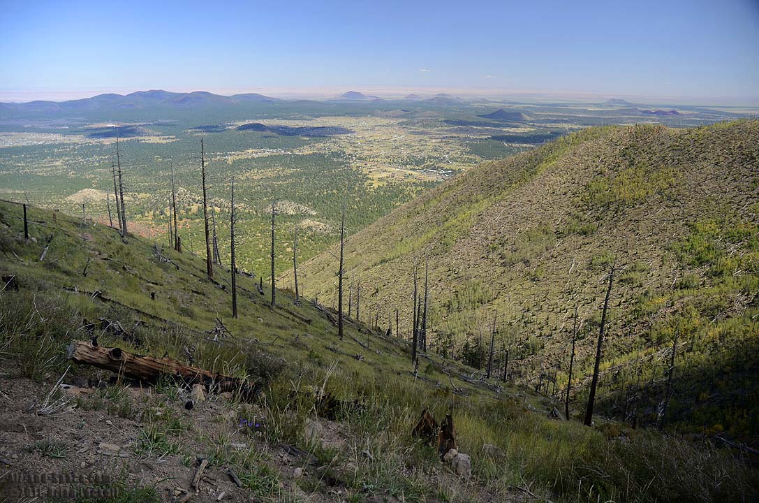
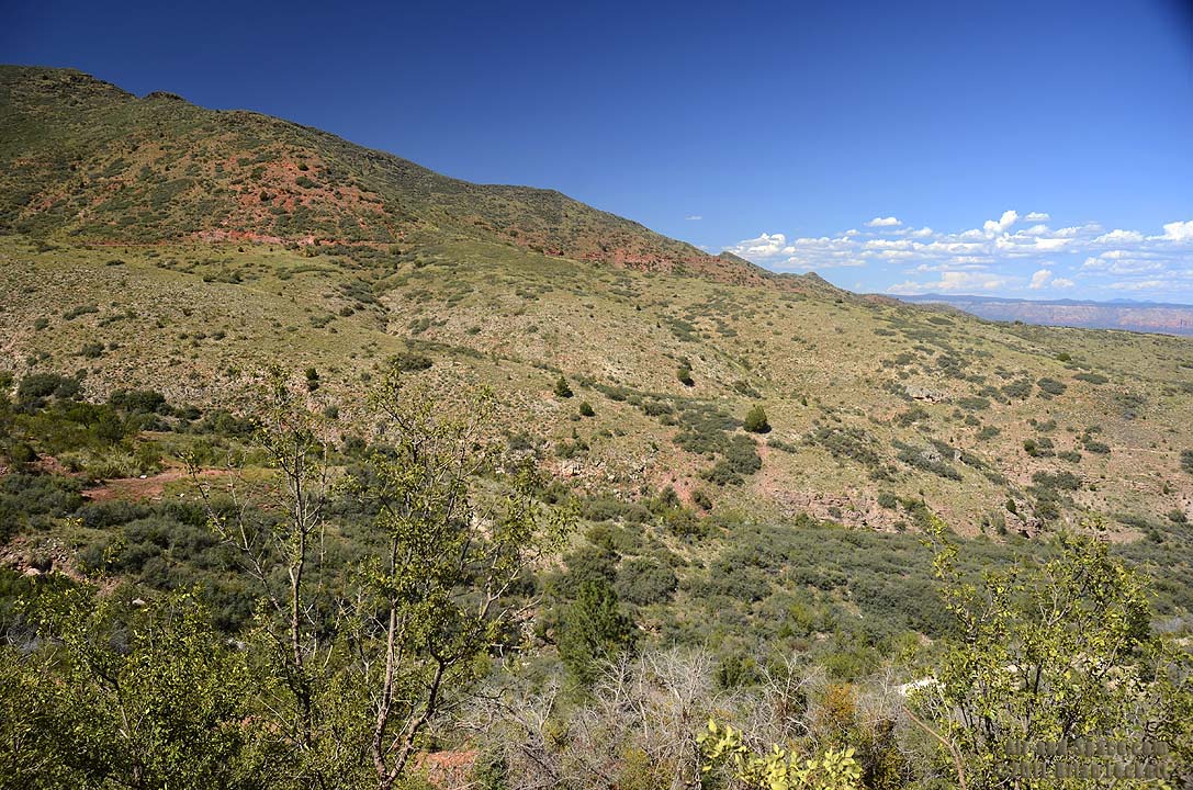
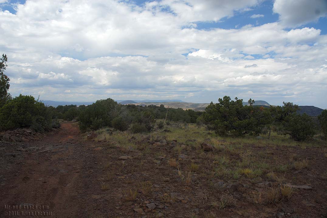
Shulz Pass Road was closed after the Shulz Fire last year. It opened recently after standing dead trees along the road were removed to mitigate the hazard of trees falling onto the road.
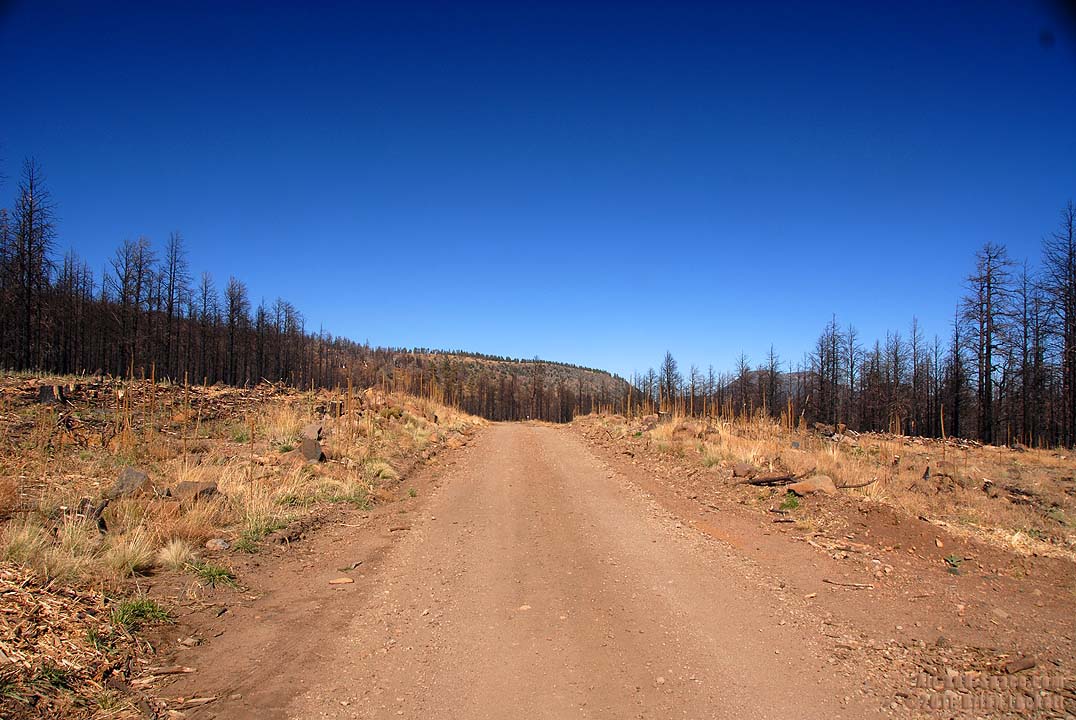 A broad swath has been cleared through the burn zone along the Shulz Pass Road.
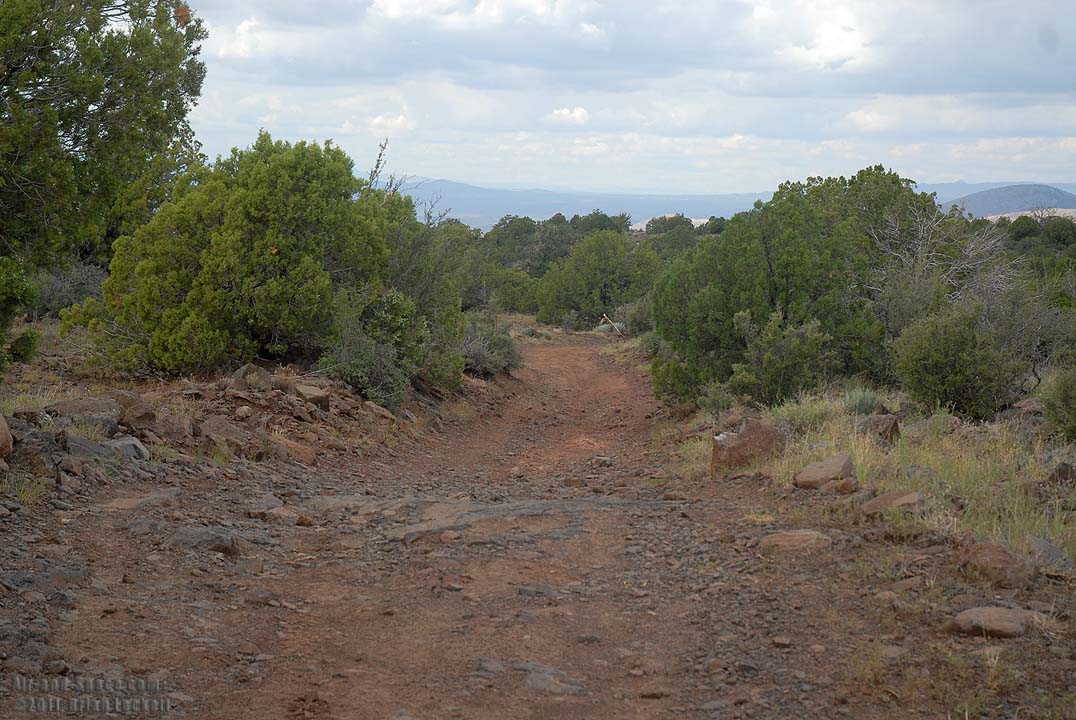
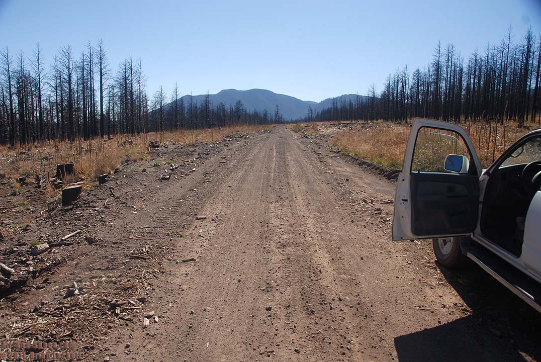 Shulz Pass Road leads between Eldon Hills and the San Francisco Peaks.
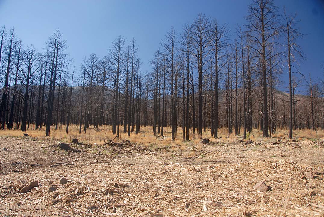
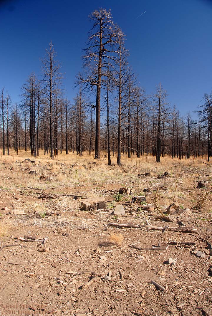
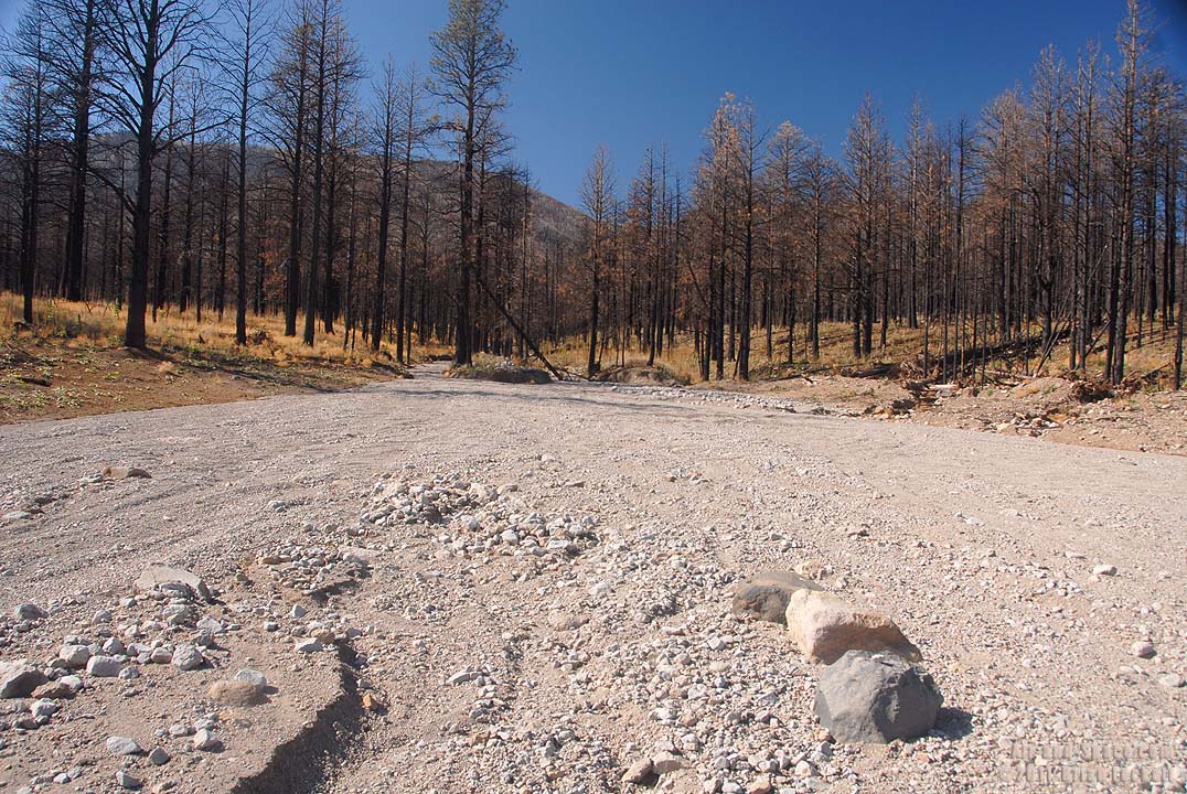
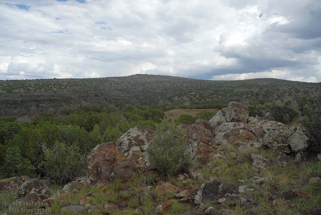
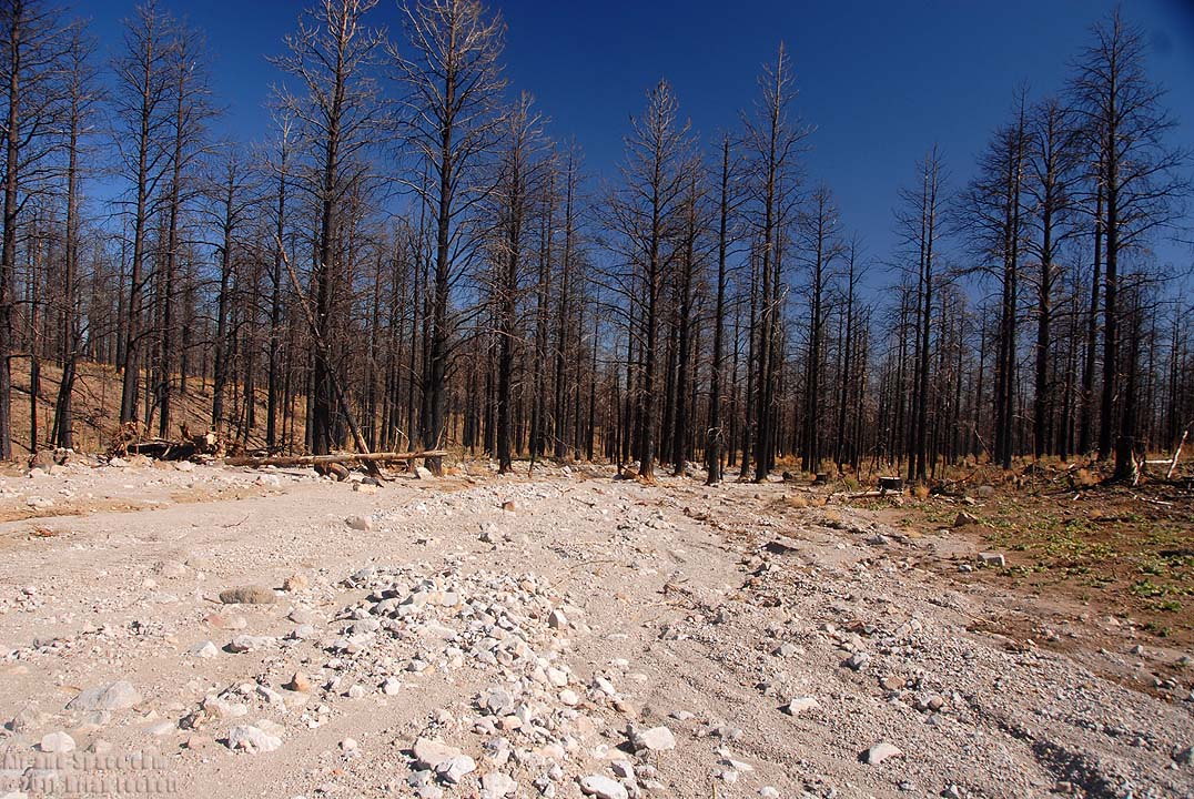 Loose sediment is choking the drainages below the unstabilized slopes of the burn zone.
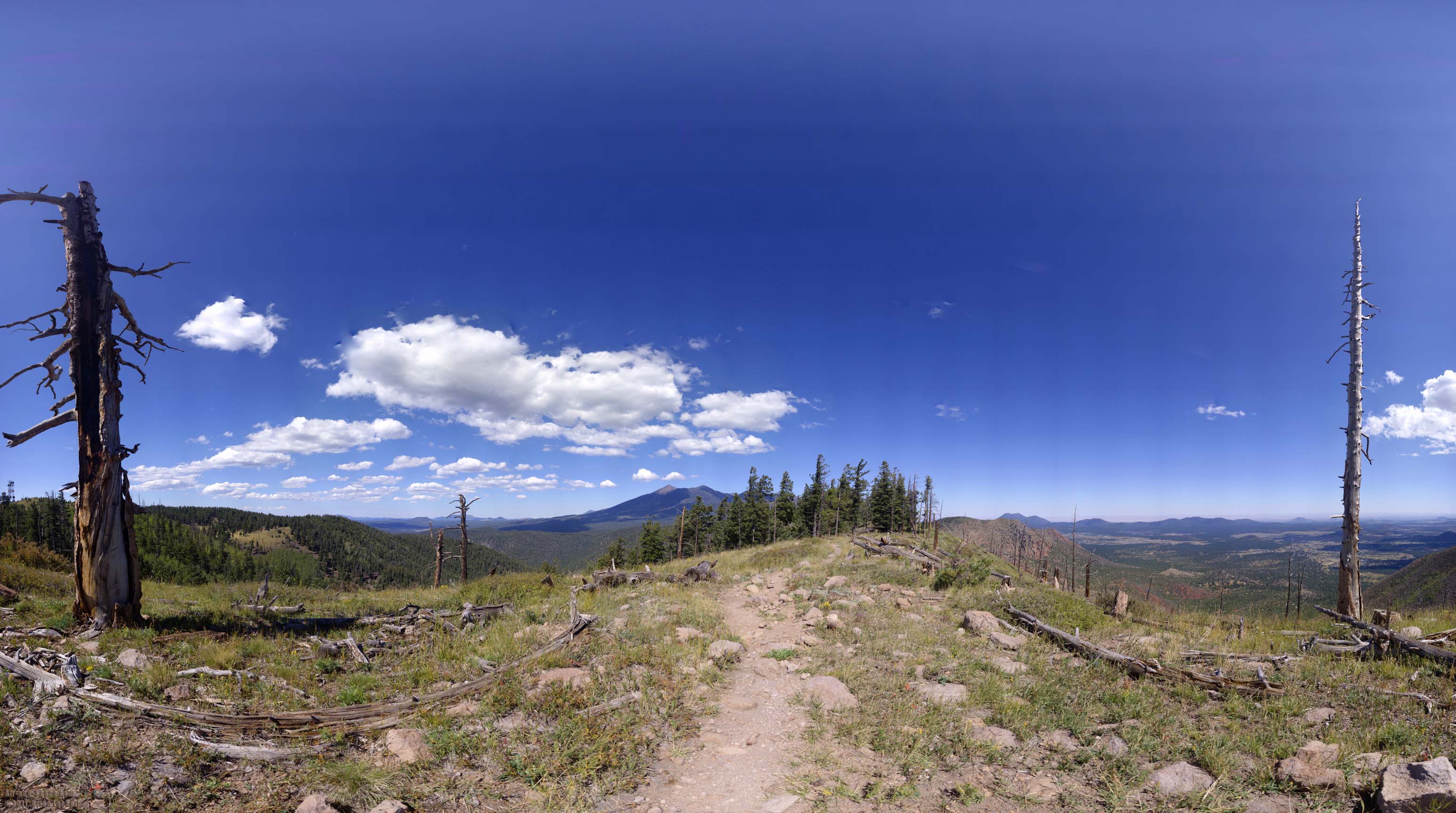
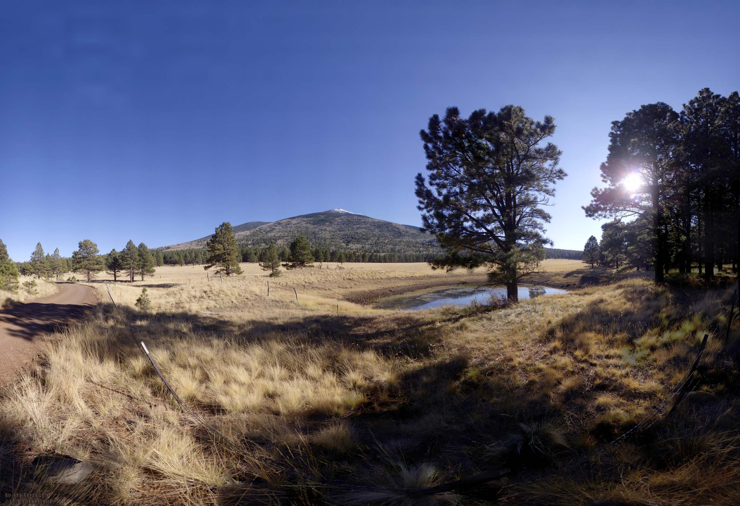 The highest point in the State of Arizona is Mount Humphreys in the San Francisco Peaks, seen here from Forest Road 418. This panorama was taken with my Gigapan robotic camera mount.
Panorama size: 1360 megapixels (46948 x 28980 pixels)
Input images: 420 (21 columns by 20 rows)
Field of view: 238.0 degrees wide by 146.9 degrees high (top=81.3, bottom=-65.6)
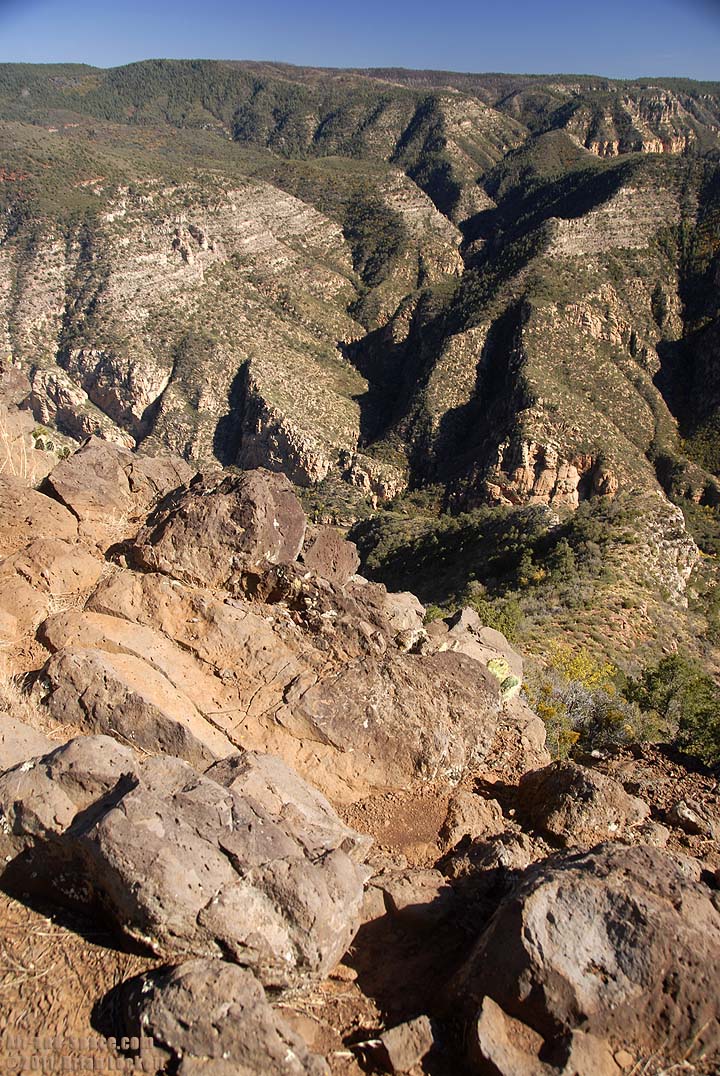
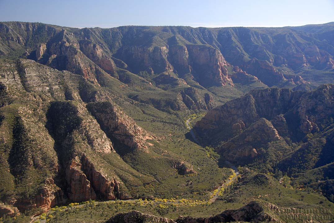
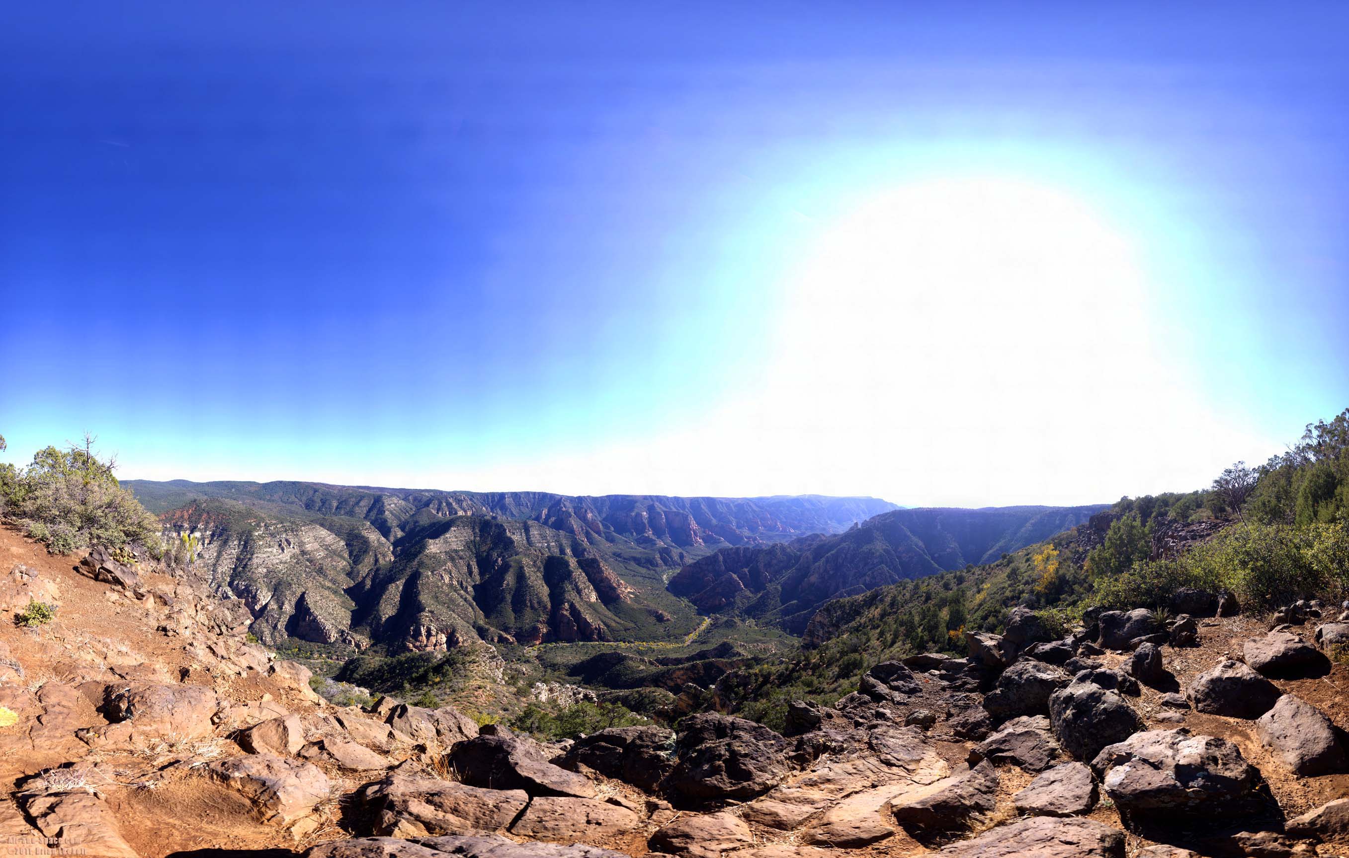
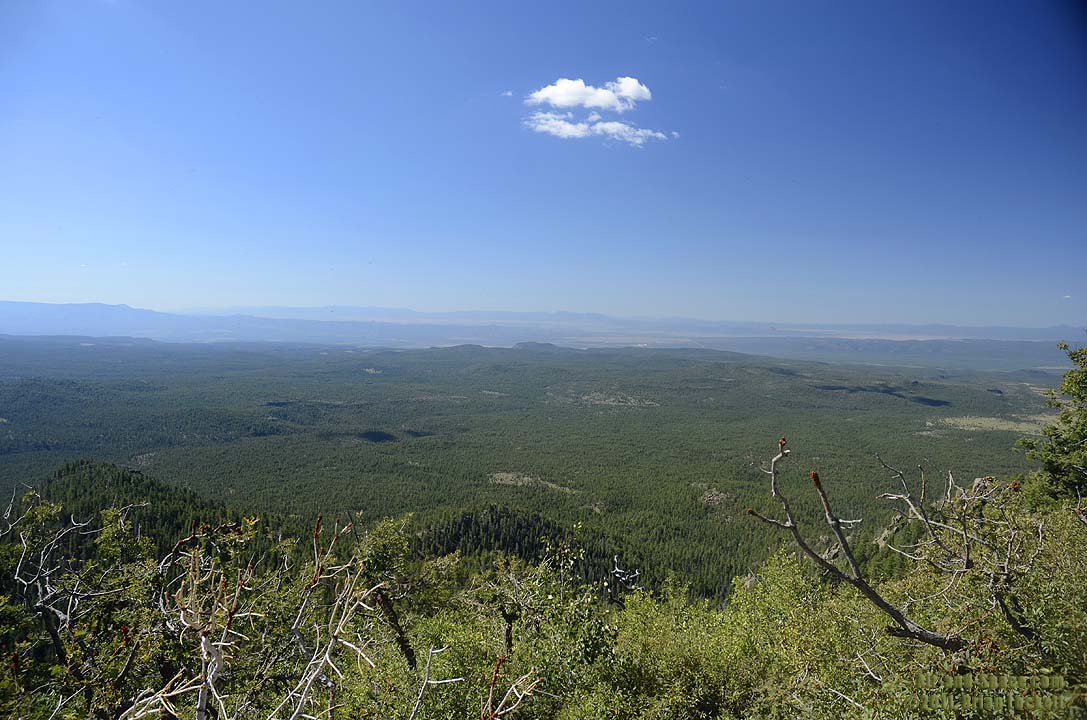
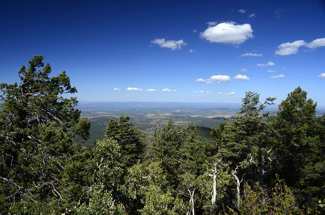
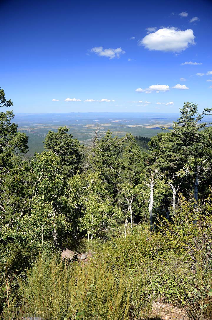
Sycamore Point overlooks Sycamore Canyon 23 miles southwest of Flagstaff, Arizona. The canyon is 1,800 feet deep below the point.
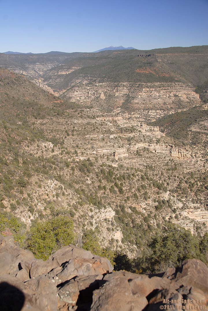 The San Francisco Peaks are visible 28 miles away beyond the uppr reaches of Sycamore Canyon.
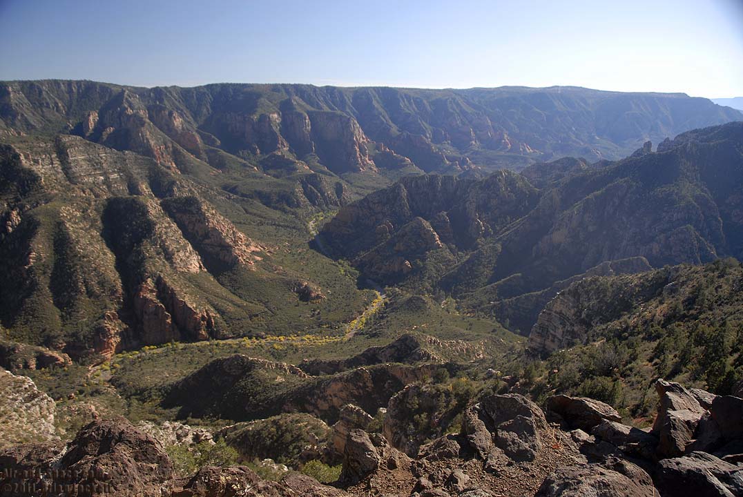
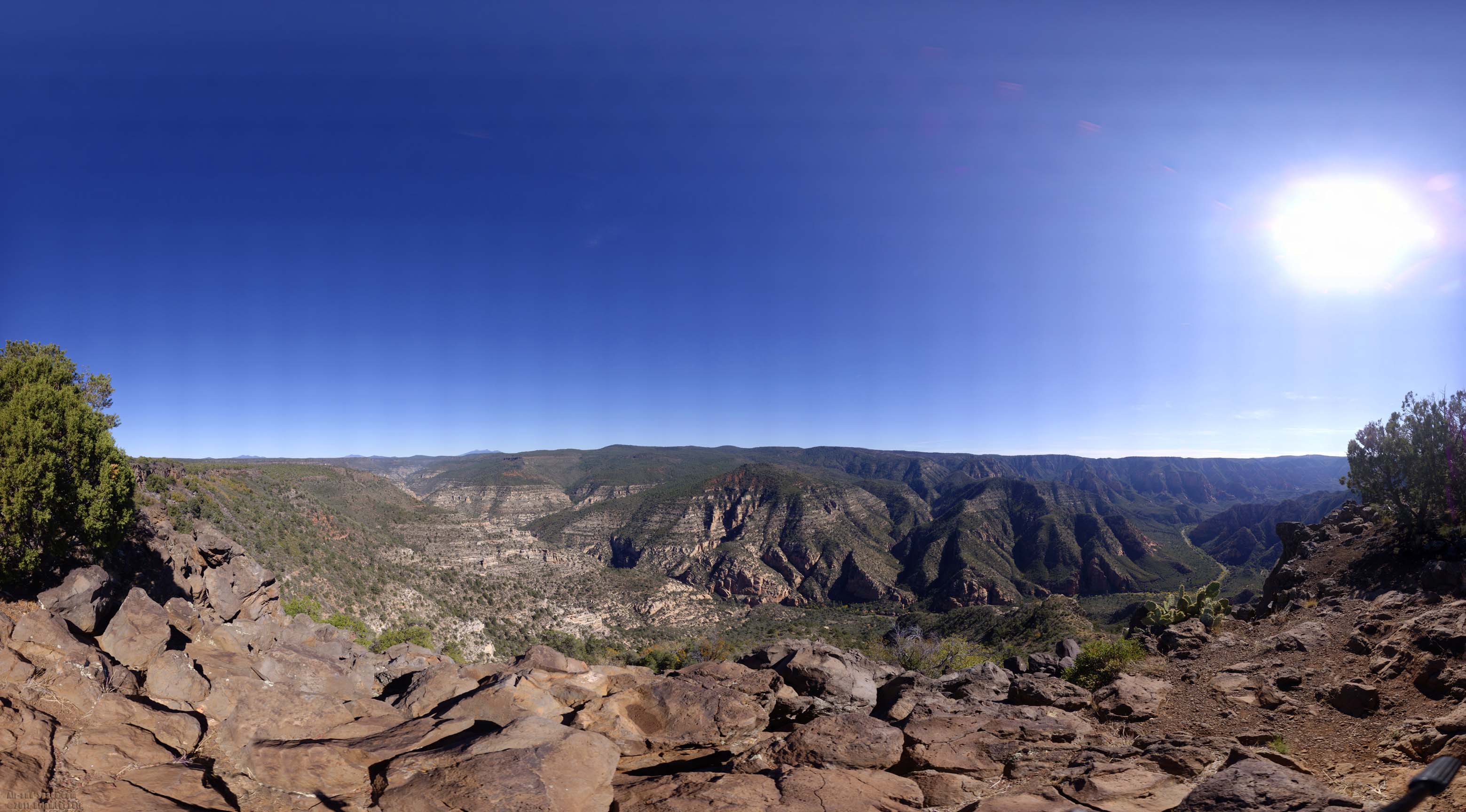 Panoramic view of Sycamore Canyon taken with my Gigapan robotic camera mount.
Panorama size: 1712 megapixels (59124 x 28968 pixels)
Input images: 540 (27 columns by 20 rows)
Field of view: 301.0 degrees wide by 147.5 degrees high (top=83.5, bottom=-64.0)
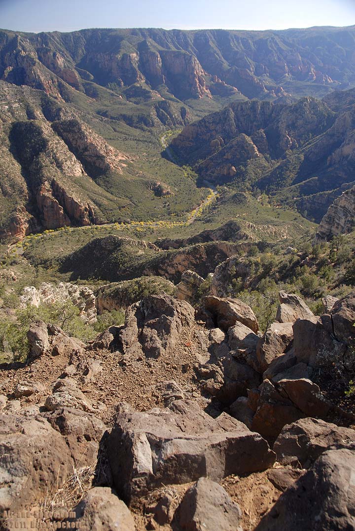
 Buck Ridge is prominent on the right side of the picture.
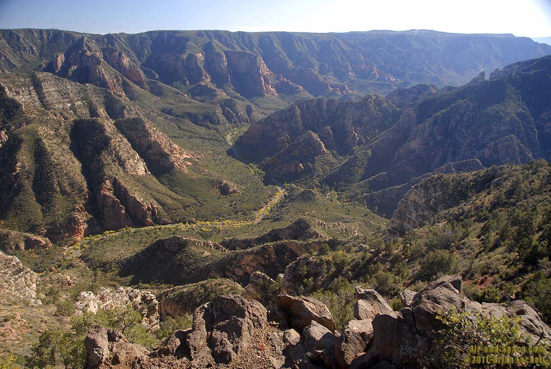
 Looking down into the confluence of Sycamore Creek and Thule Wash.
 The Triassic sedimentary rocks of the Moenkopi, Kaibab, and Coconino Formations are capped with a resistant layer of volcanic Basalt.
 Thule Tank Wash enters Sycamore Canyon on the right. Woodchute Mountain near Jerome is the prominent peak on the horizon.
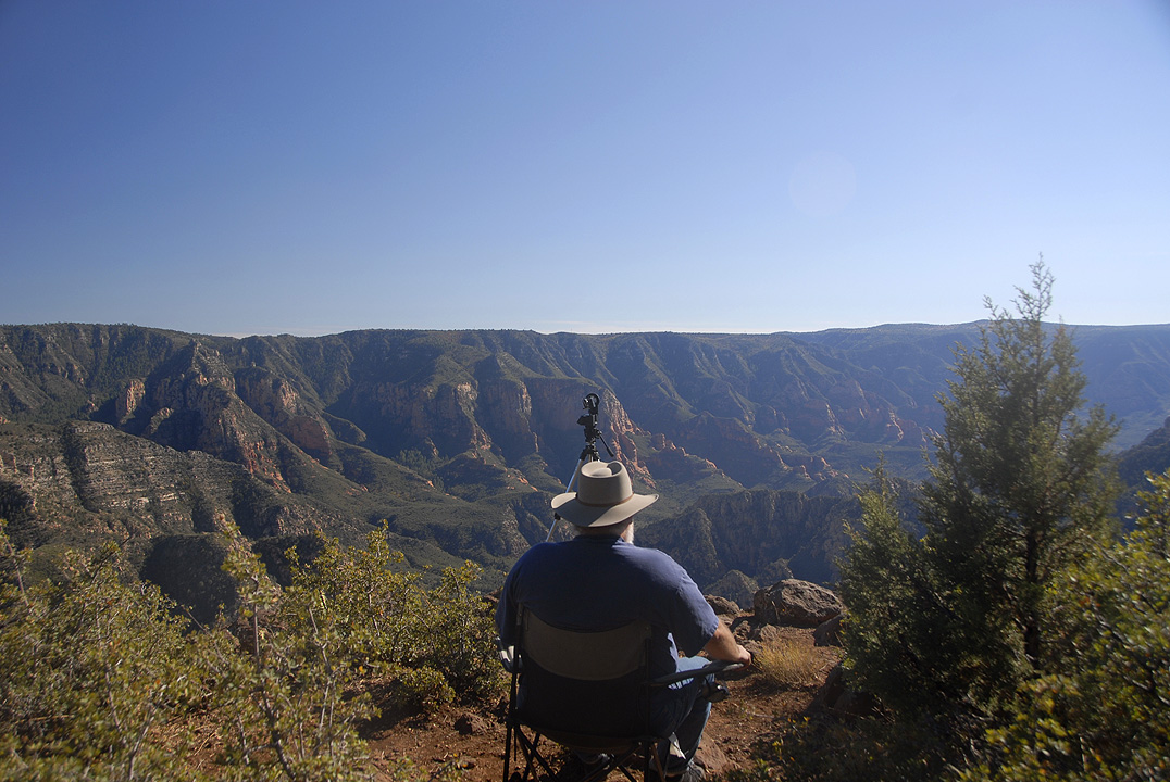 Me hard at work.
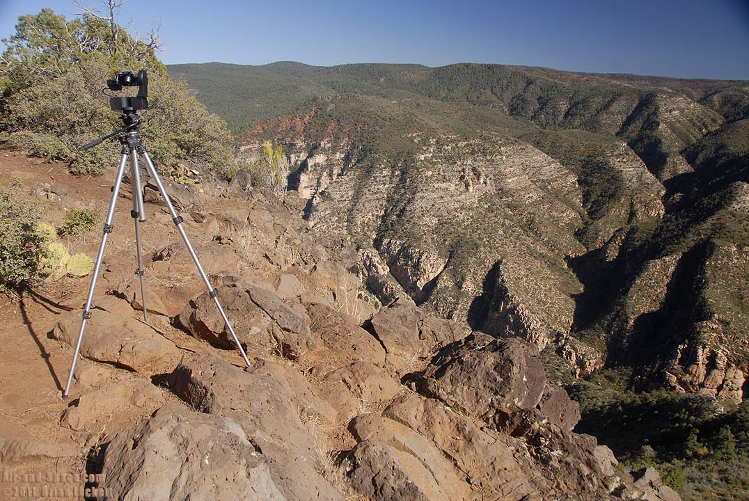 The Gigapan is taking 420 pictures to stitch together to make the panorama below.
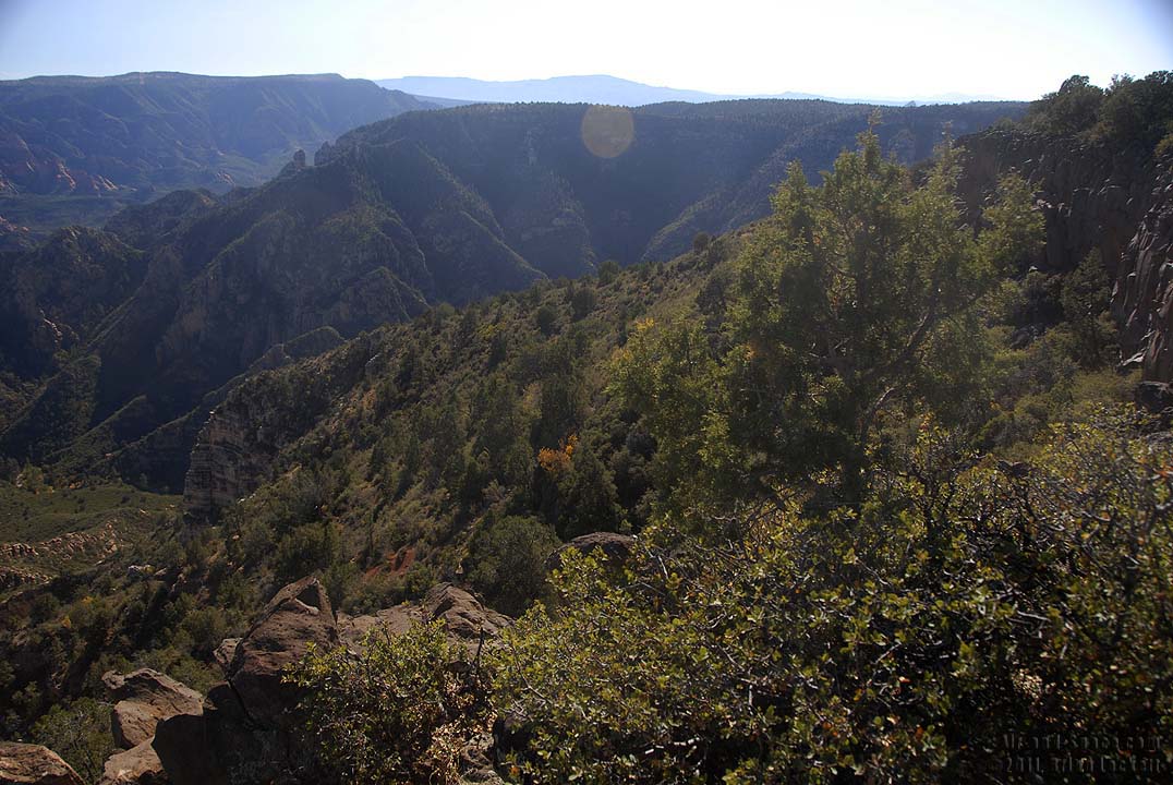
 Panoramic view of the lower reaches of Sycamore Canyon taken with my Gigapan robotic camera mount. Unfortunately, shooting directly into the sun resulted in an overexposed sky.
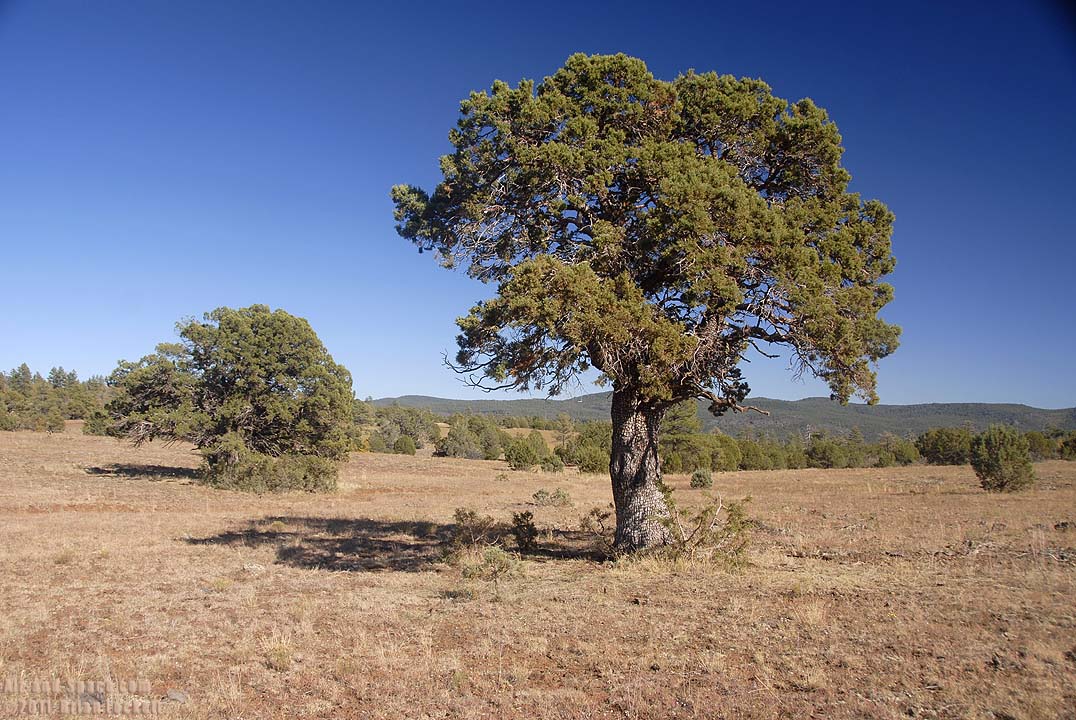
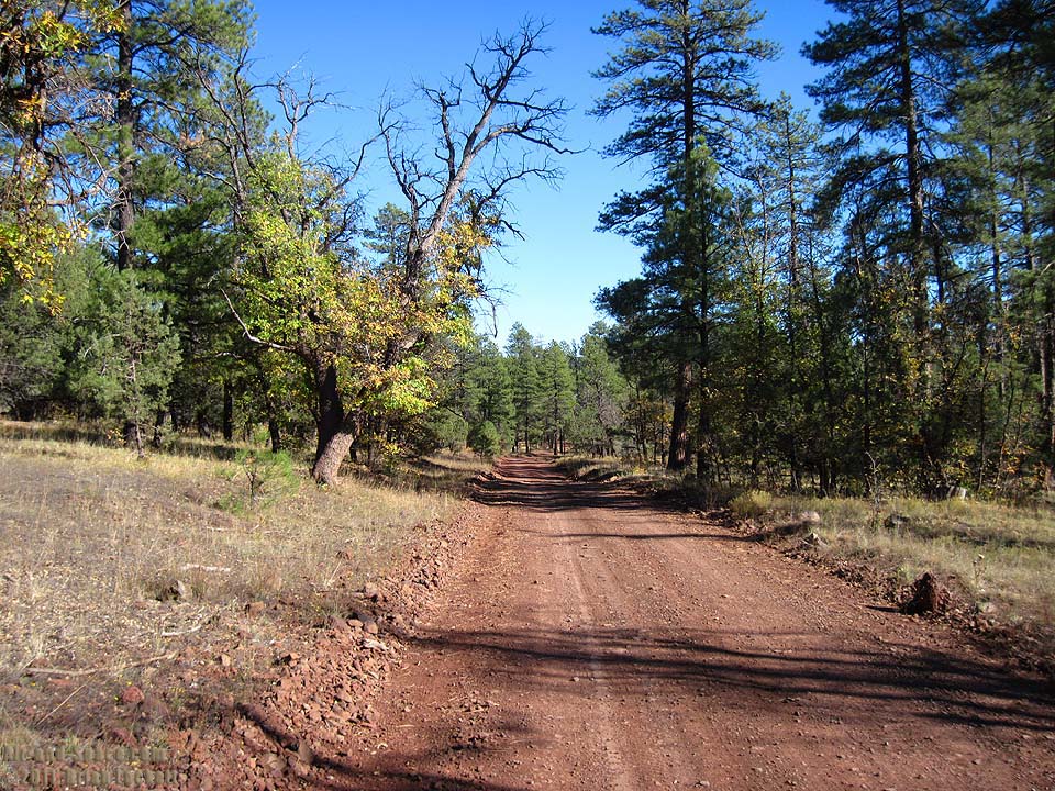
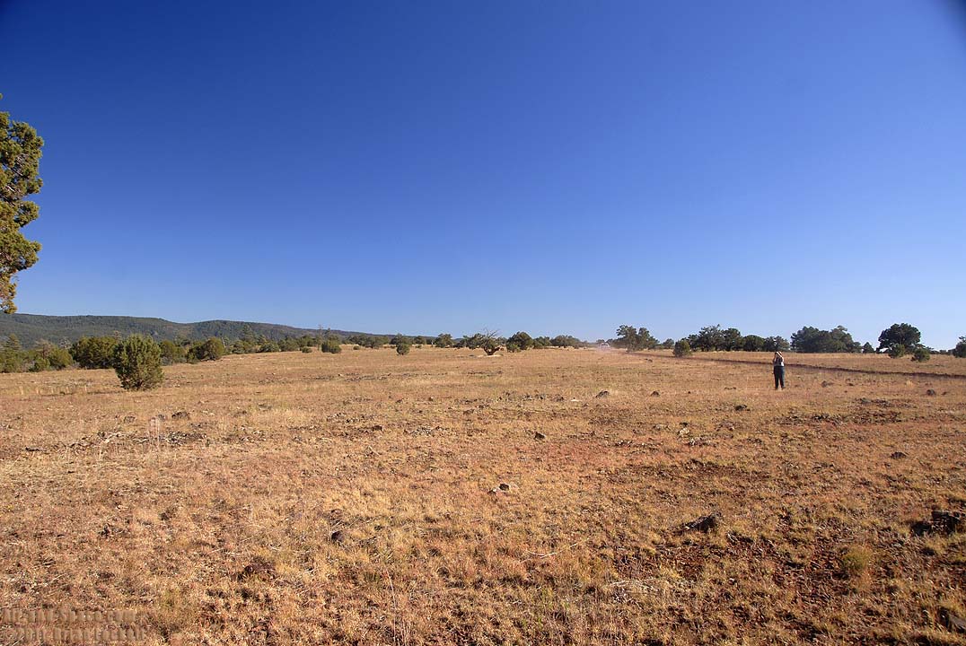 Sycamore Point Road runs across a grassy plain with scattered Alligator Juniper Trees.
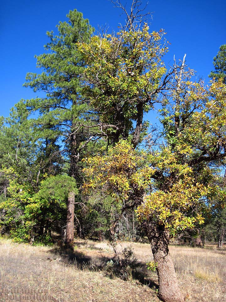
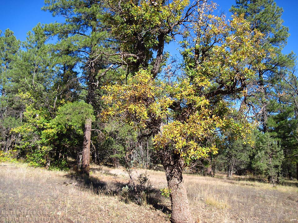 Oak Trees are changing colors along the Sycamore Point Road.
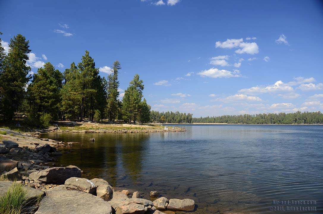
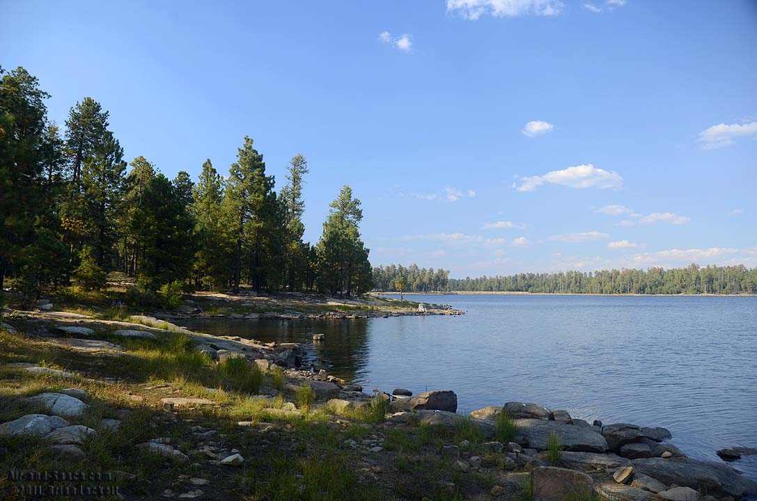
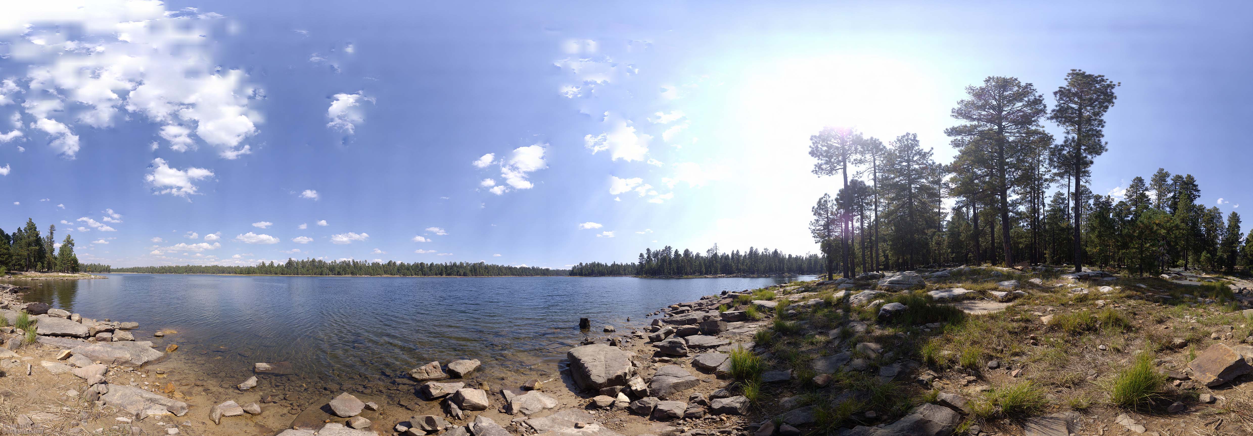 Willow Spring Lake is just off Highway 260 on the Mogollon Rim. It's about a two-hour drive from Phornix. This is a 360-degree panorama.
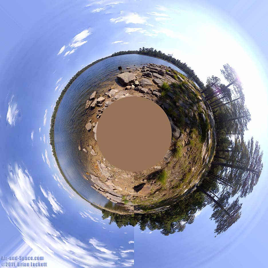
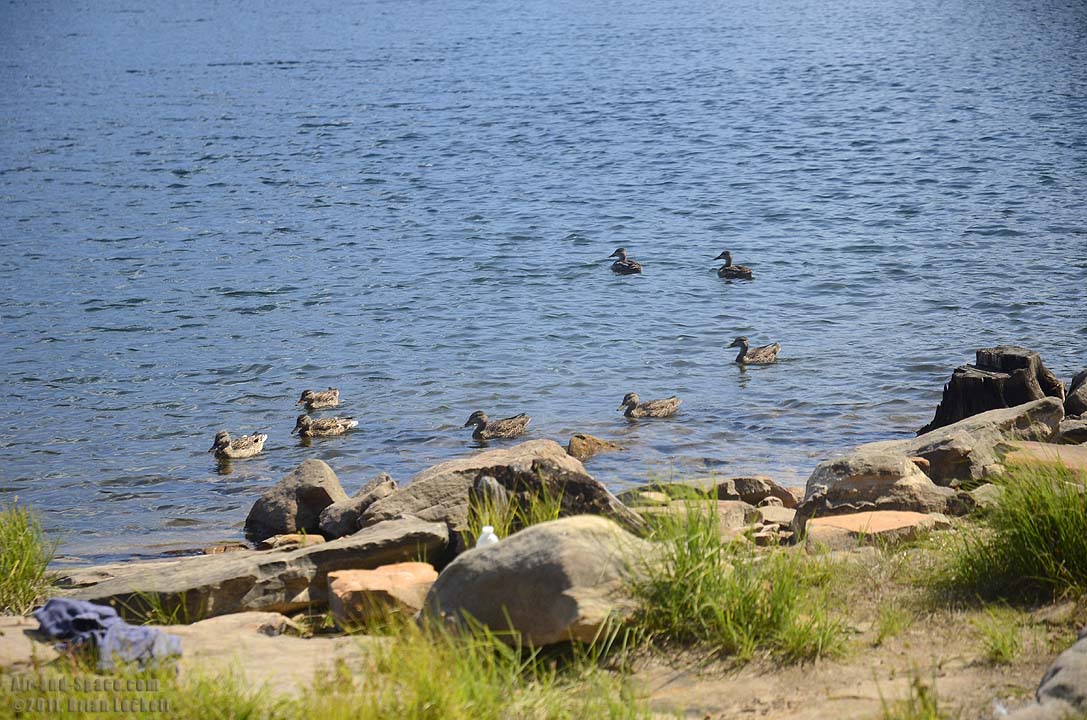 Willow Spring Lake
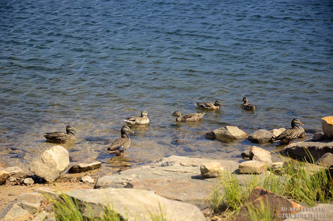
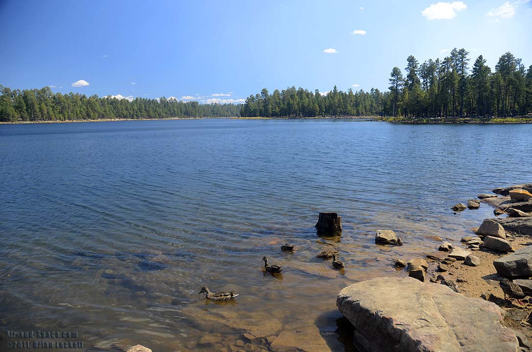
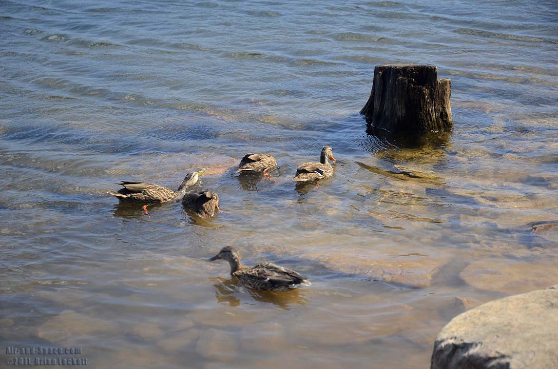
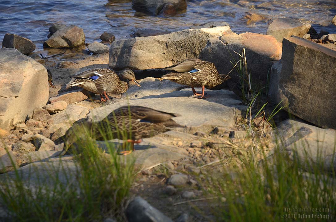
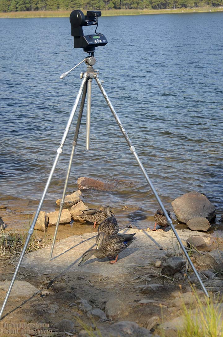 The ducks were unconcerned by my Gigapan.
 The San Francisco Peaks dominate this Gigapan panorama taken a an elevation of 9,100 feet on Eldon Hills. Humphrey's Peak is the highest point in the picture at 12,356 feet elevatiion. The peaks were once much taller, but volcanic eruptions blew out the northeast side of the mountain. Many cinder cones and volcanoes can be seen on either side of the peaks.
This photo is available as prints as large as four feet by seven feet.
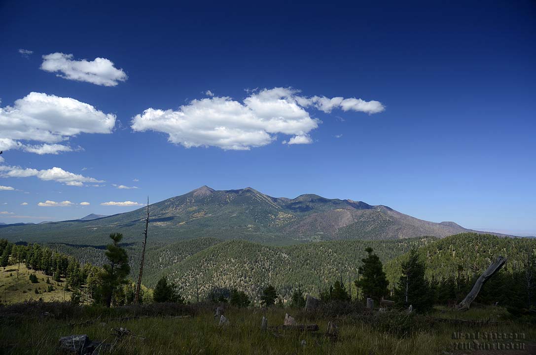
 San Francisco Peaks seen from Eldon Hills.
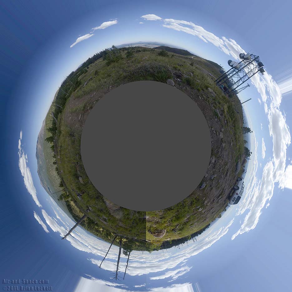
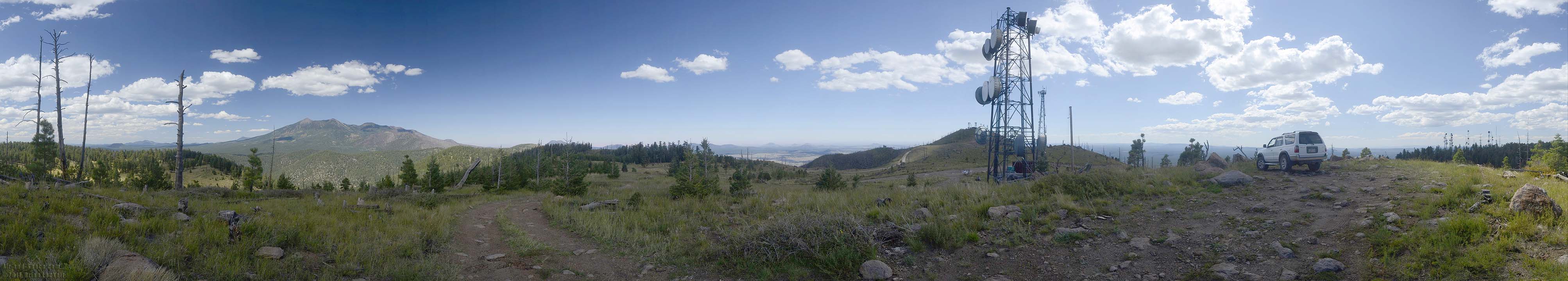 Microwave relay towers have been installed at several locations on the peaks of the Eldon Hills. This is a 360-degree panorama.
 Pioneer Valley is nestled among the cinder cones of the San Francisco Volcanic Field.
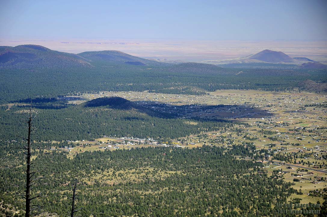 Old Caves Cinder Cone and Pioneer Valley.
 Sunset Crater is the youngest volcano in the San Francisco Volcanic Field.
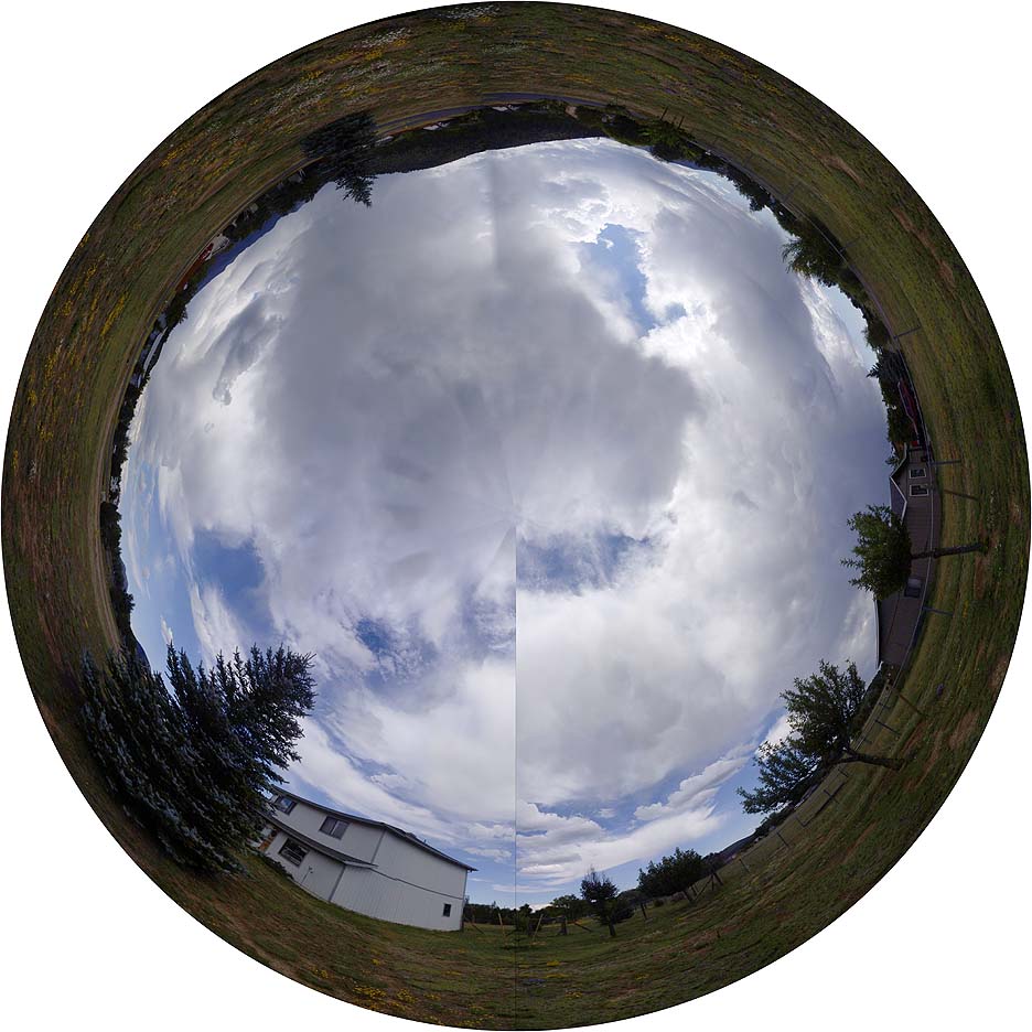 Stormy skies over Pioneer Valley, Arizona on September 21, 2011. The clouds move during the time it takes to shoot the 360-degree panorama.
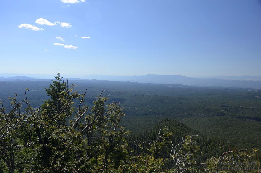
There is a scenic drive from Williams to Jerome by way of Perkinsville. Bill Williams Mountain is a short distance south of Williams. A primitive dirt road leads to a watchtower and several microwave relay antennea at the summit.
 The view to the west from the summmit of Bill Williams Mountin.
 The view to the southwest from the summmit of Bill Williams Mountin. The peak directly below is Bixler Mountain.
 The view to the north from the summmit of Bill Williams Mountin.
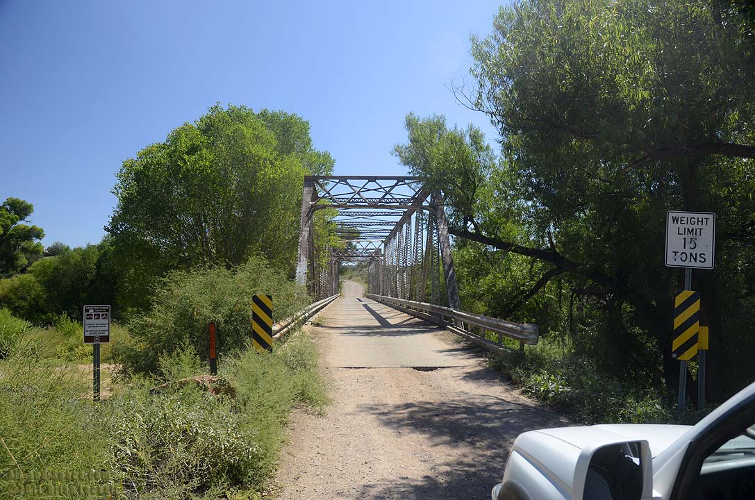 The one-lane bridge across the Verde River near Perkinsville has a weight limit of 15 tons.
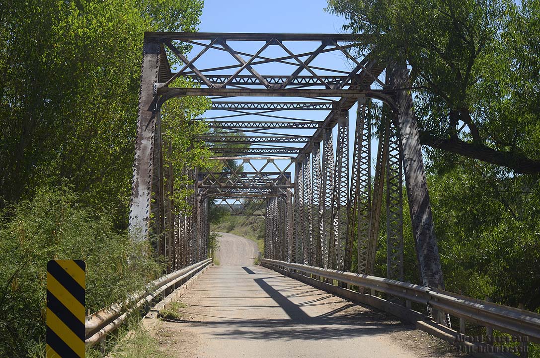
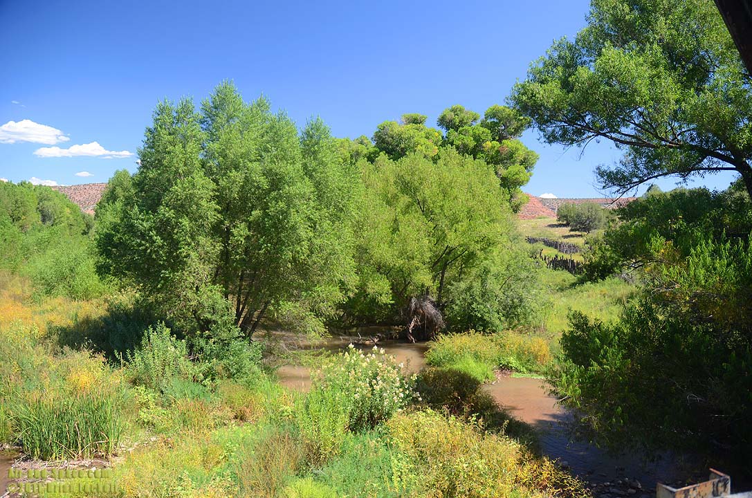 Crossing the Verde River.
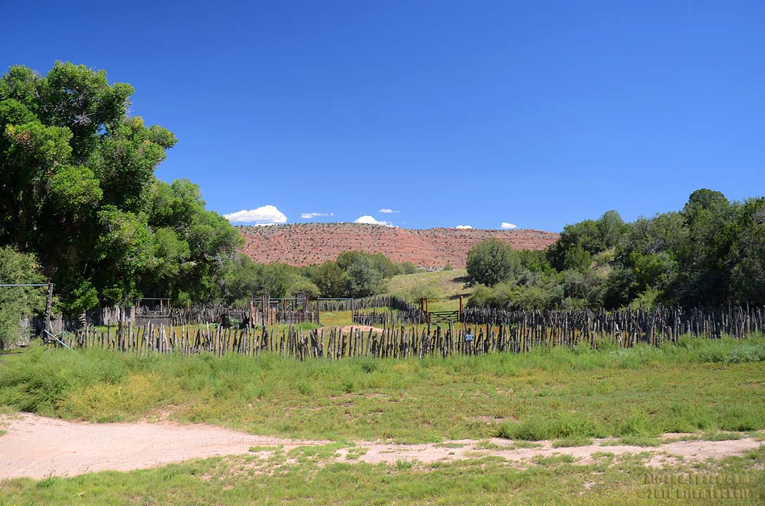 A corral near the Verde River crossing.
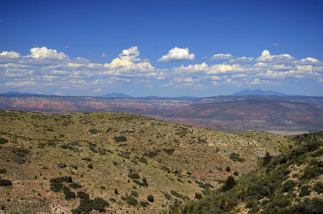
 Bill Williams Mountain and San Francisco Peaks are visible in the distance beyond the Verde Valley and the Mogollon Rim from the road between Jerome and Perkinsville.
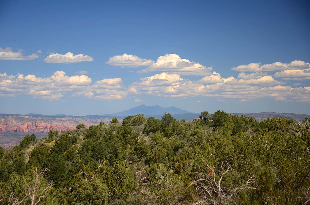 The San Francisco Peaks are fifty miles away.
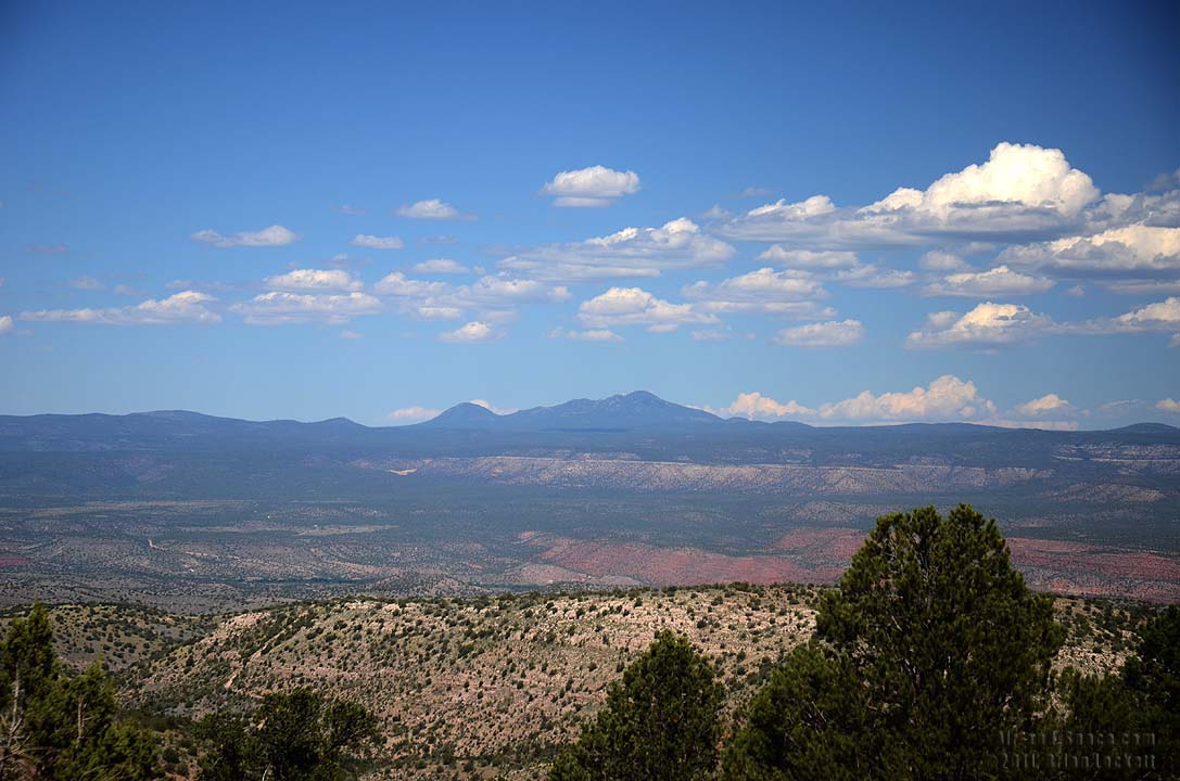 Bill Williams Mountin and Bixler Mountain are thirty miles away.
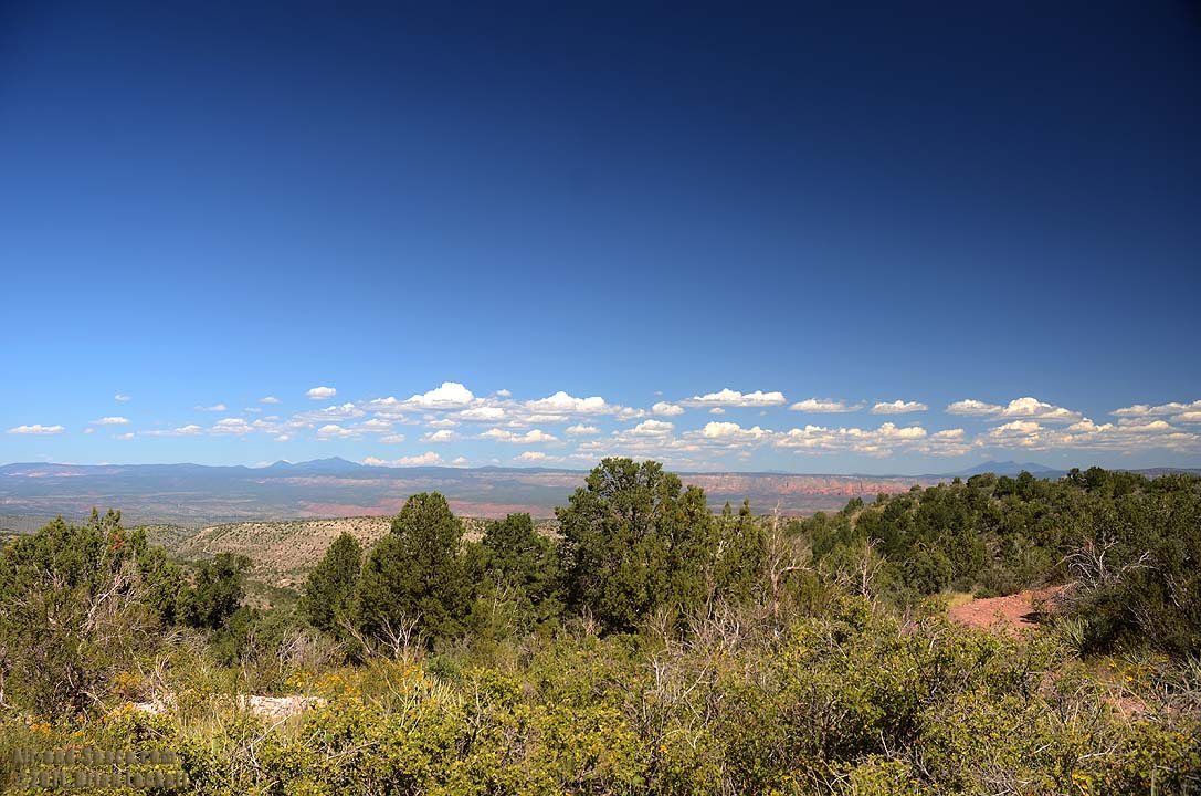
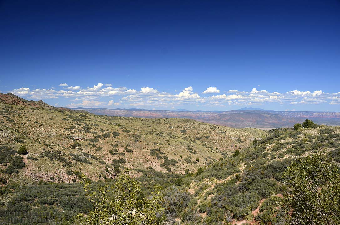
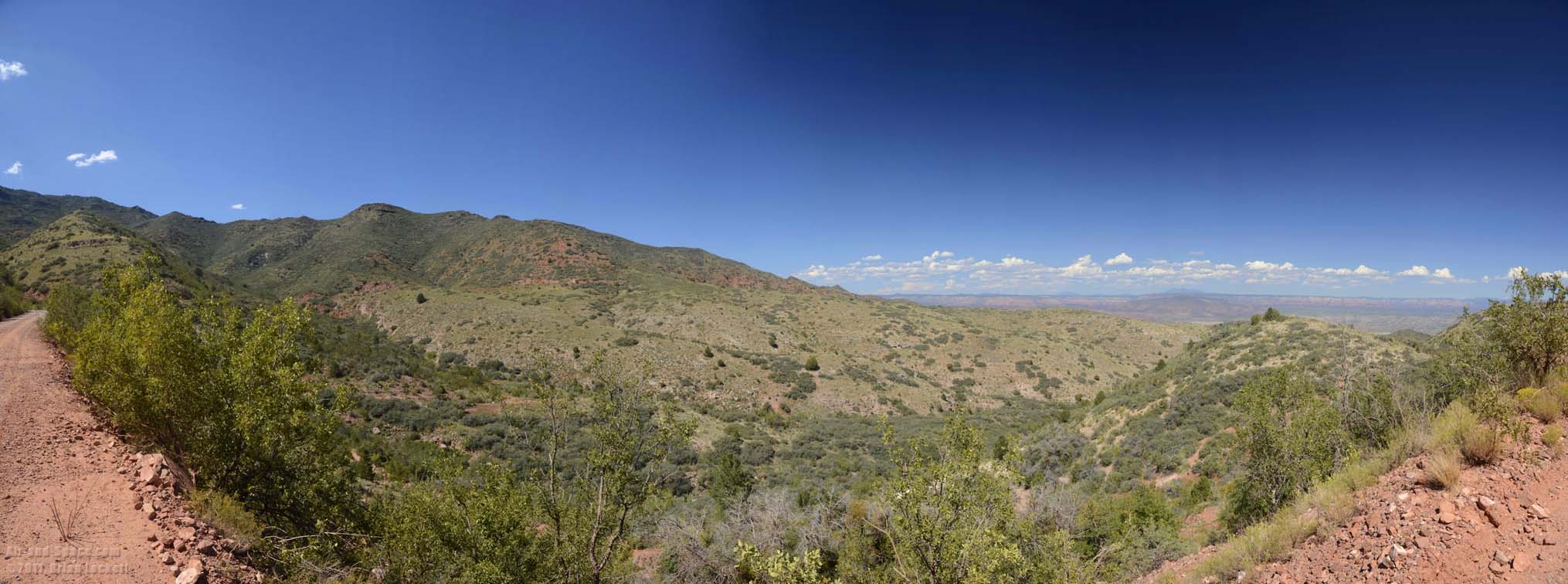
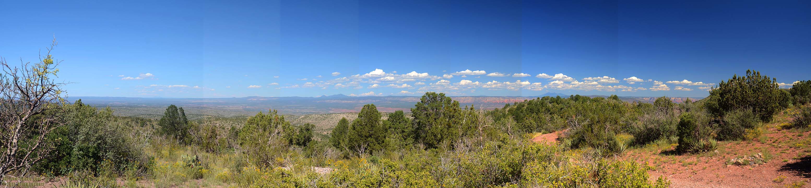 Panoramic view of the Verde Valley.
 Gigapan panorama of the Verde Valley.
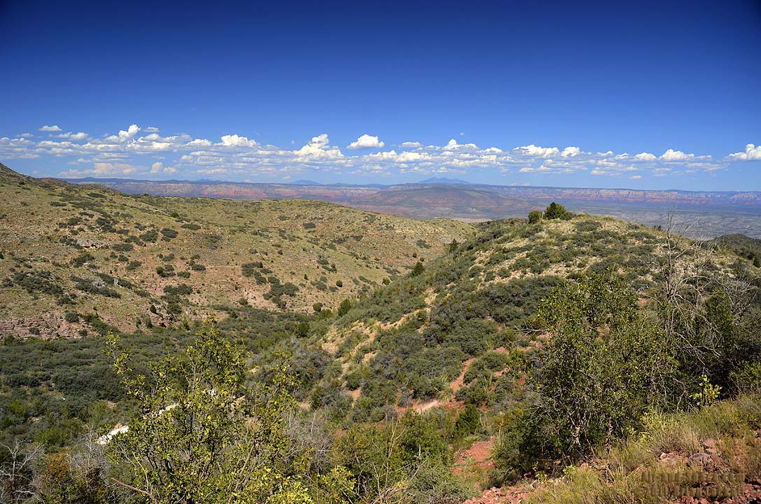
 Panoramic view of the Verde Valley.
This photo is available as prints as large as fifteen inches by forty inches.
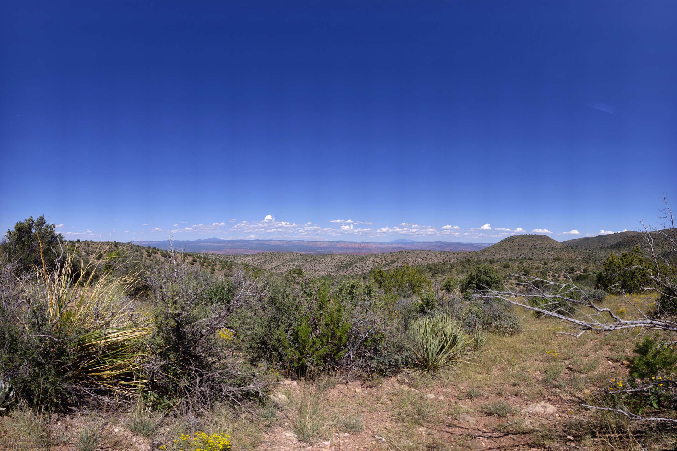
 The view across the Verde Valley from just north of Jerome.
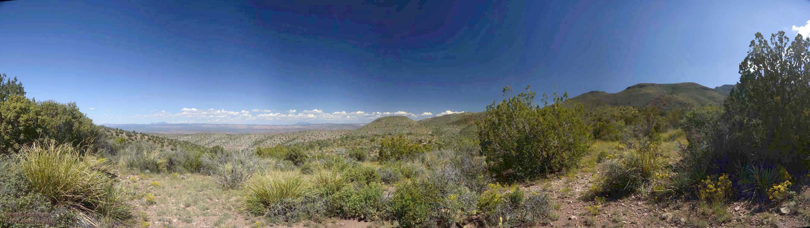
 The mouth of Sycamore Canyon can be sen between the San Francisco Peaks and Hendrick Mountain.
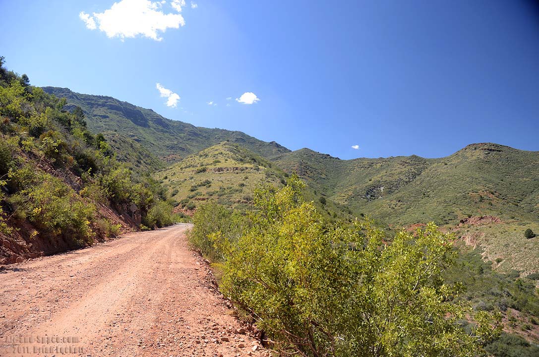 The road north from Jerome winds through the mountains at an elevation of about 5,600 feet.
This photo is available as prints as large as twelve inches by forty-eight inches.
 White Horse Hills is a complex of cinder cones that were built by a series of eruptions from multiple vents. They rise about 900 feet above the surrounding terrain.
This photo is available as prints as large as four feet by six feet.
 San Francisco Peaks dominate this panorama taken from a meadow along Forest Route 418 on the north side of the mountains. Humphrey's Peak is the highest point in the state of Arizona at 12,637 feet elevation. It was once much taller, but volcanic eruptions blew out the northeast side of the mountain.
This photo is available as prints as large as four feet by six feet.
 Sunset Crater is a cinder cone that erupted about 1,000 years ago. It is about 1,000 feet tall. The cinder cones to the right of Sunset Crater are O'Leary Peak and Black Mountain
This photo is available as prints as large as four feet by seven feet.
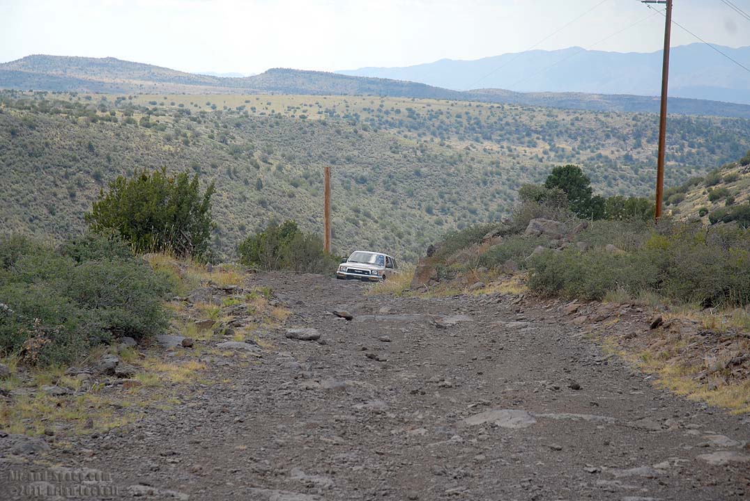
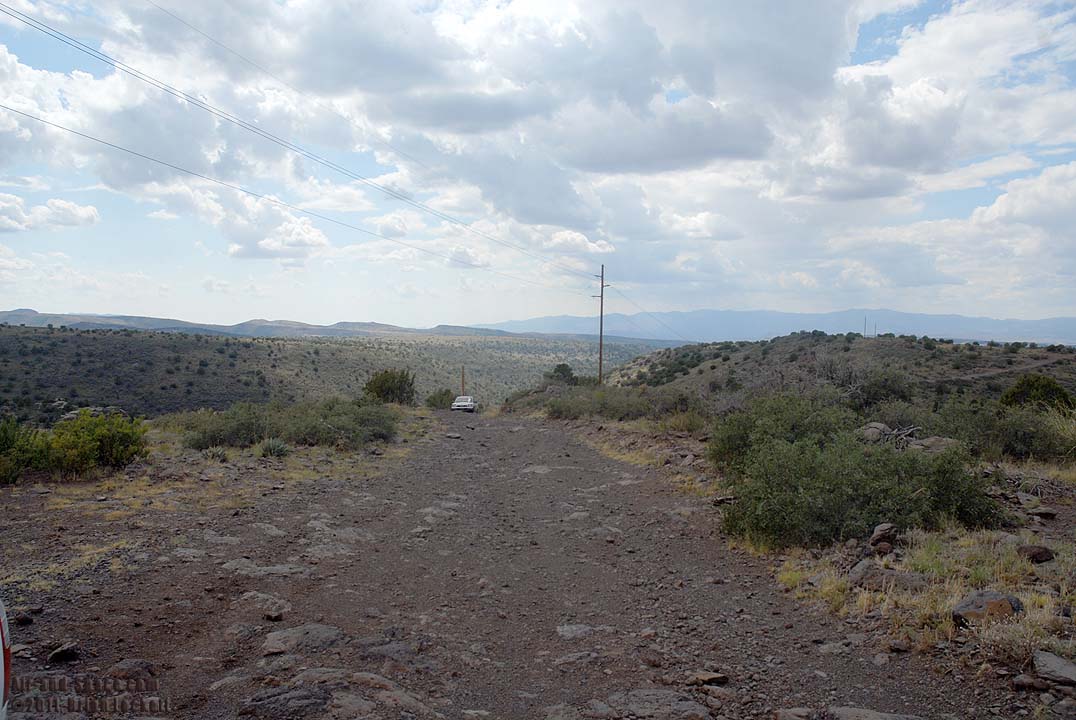
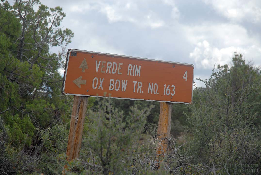
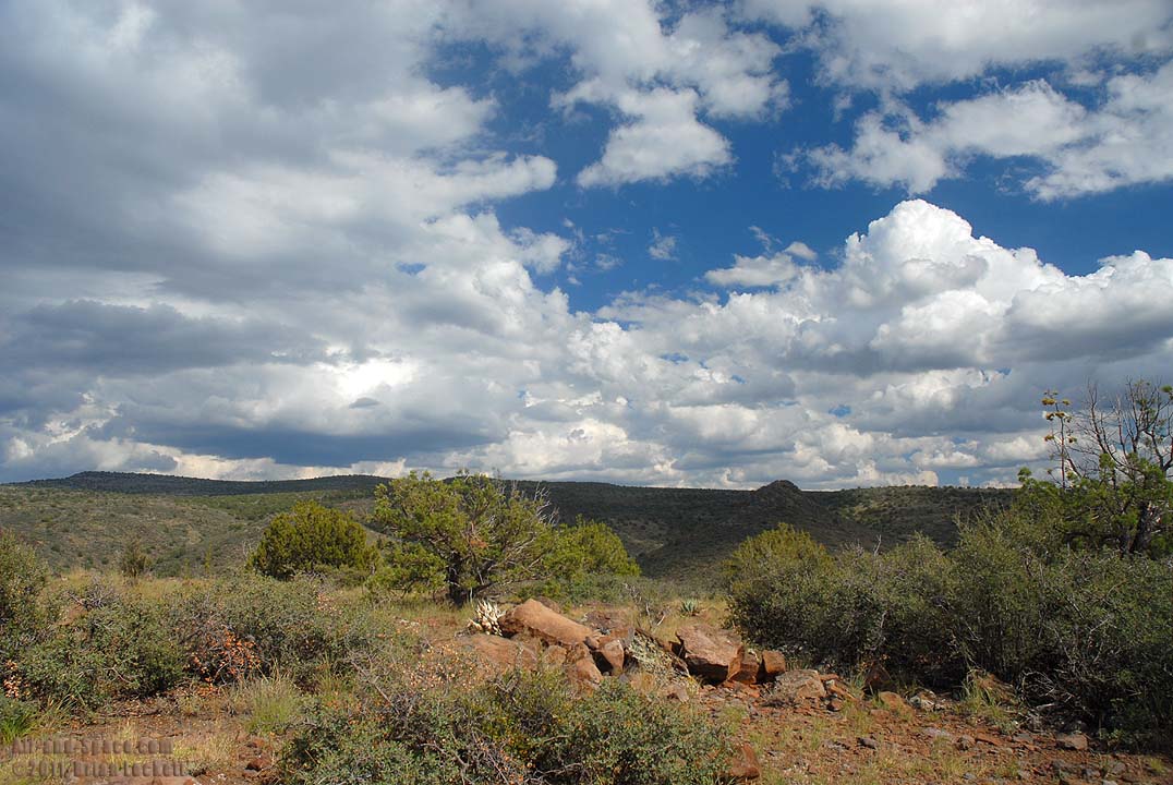
Dugas Road heads east from Interstate 17 for 22 miles to an overlook 3,500 feet above the Verde River.
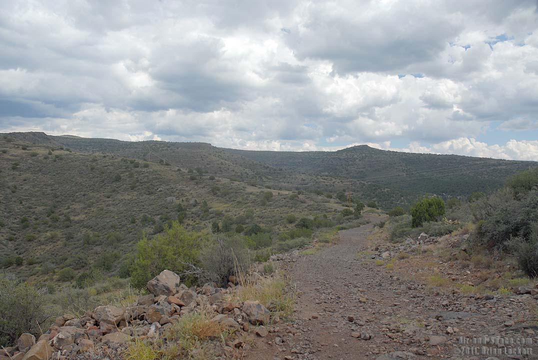 About twelve miles from the interstate, Dugas Road turns into a primitive, limited use road. There are fines for driving on Dugas Road when it is wet.
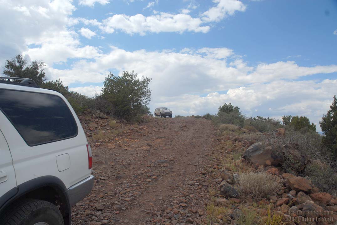
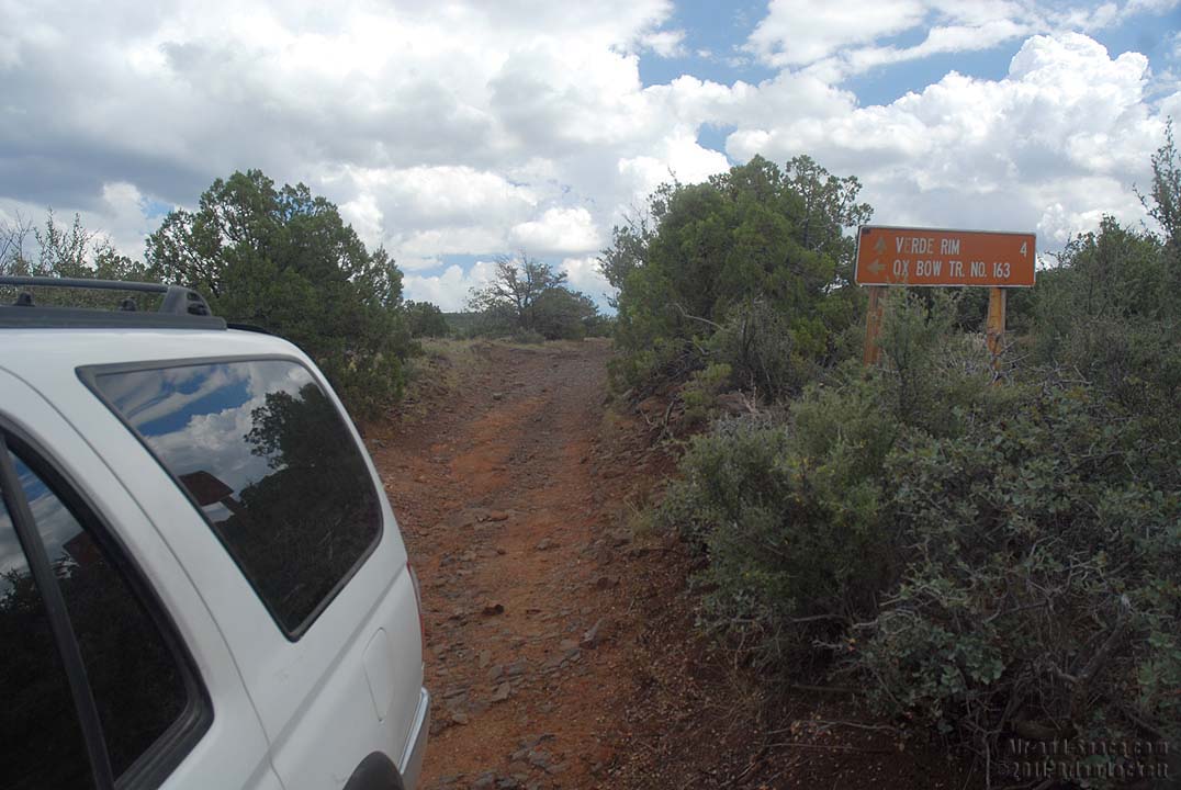
 An hour after we left the interstate, I was four miles from the Verde Rim when I realized that my sister was no longer folowing me. She'd had enough shaking and bouncing about a half mile back.
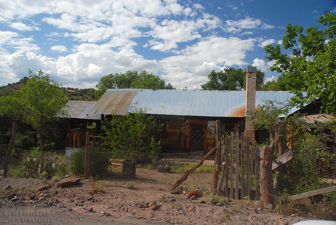 The town of Dugas is seven miles from the interstate. The road is well maintained through the town.
 Cicadas, or some other large bugs, perched in all the trees filling that warm air with a sound like rattlesnakes rattling.
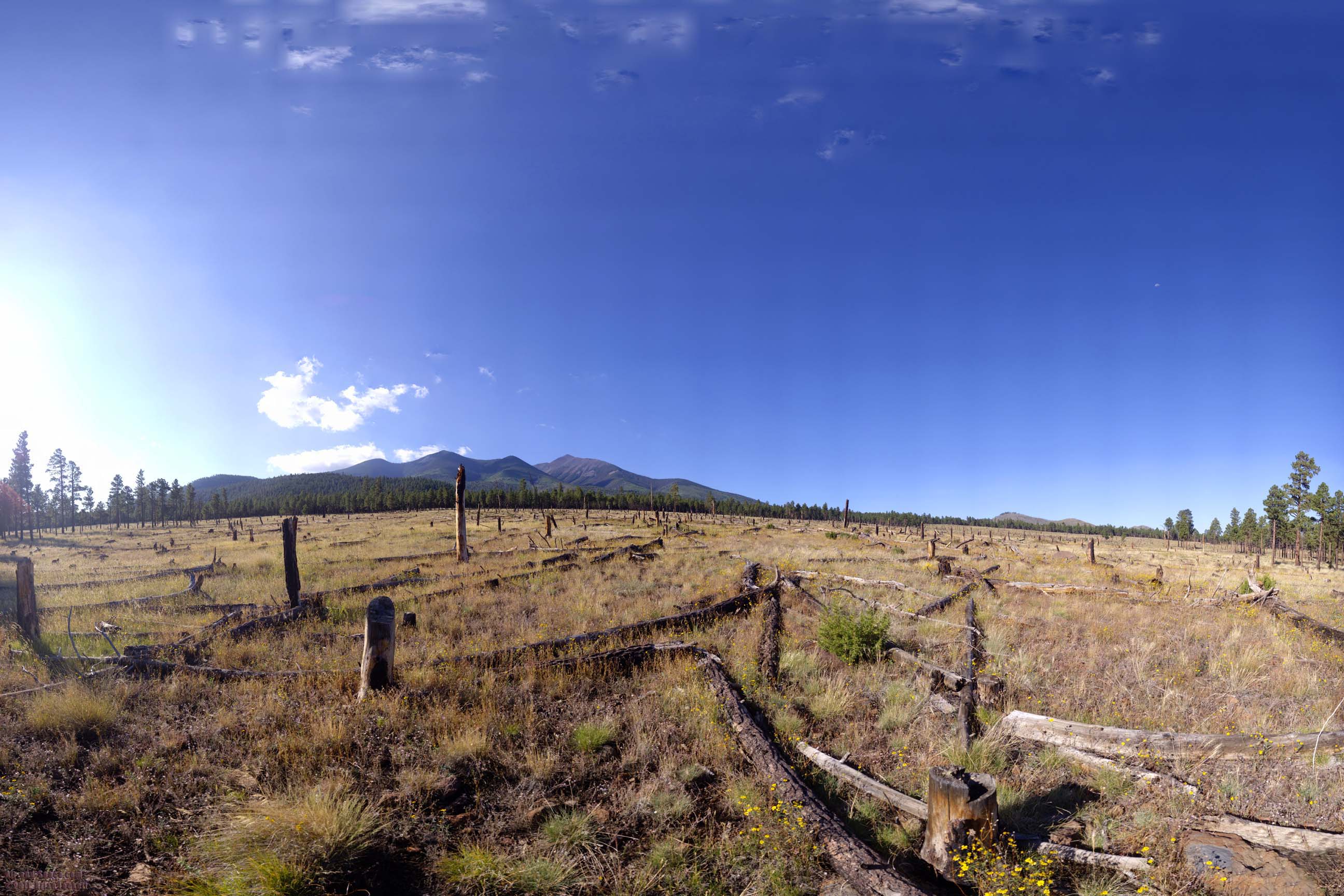
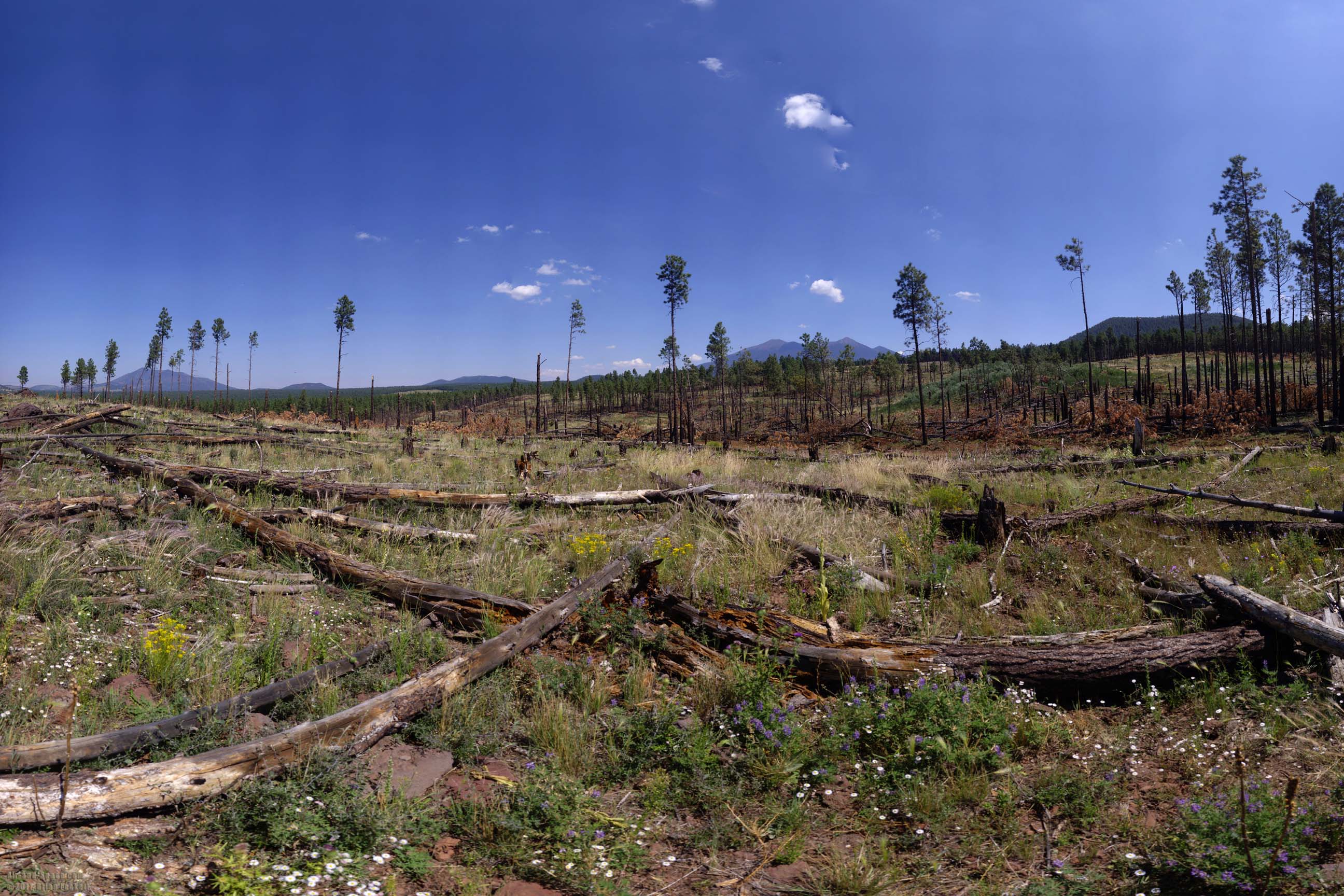 This area near Wing Mountain in the Coconino National Forest burned several years ago. Subsequently, high winds felled many of the burned trees.
This photo is available as prints as large as four feet by seven feet.
 Antelope Hill is a basaltic cinder cone that rises about 550 feet above the meadow in the foreground. The San Francisco Peaks are visible on the right side of the image. Government Knolls, Government Mountain, Sitgreaves Peak, and Government Hill can be seen at the left.
This photo is available as prints as large as four feet by seven feet.
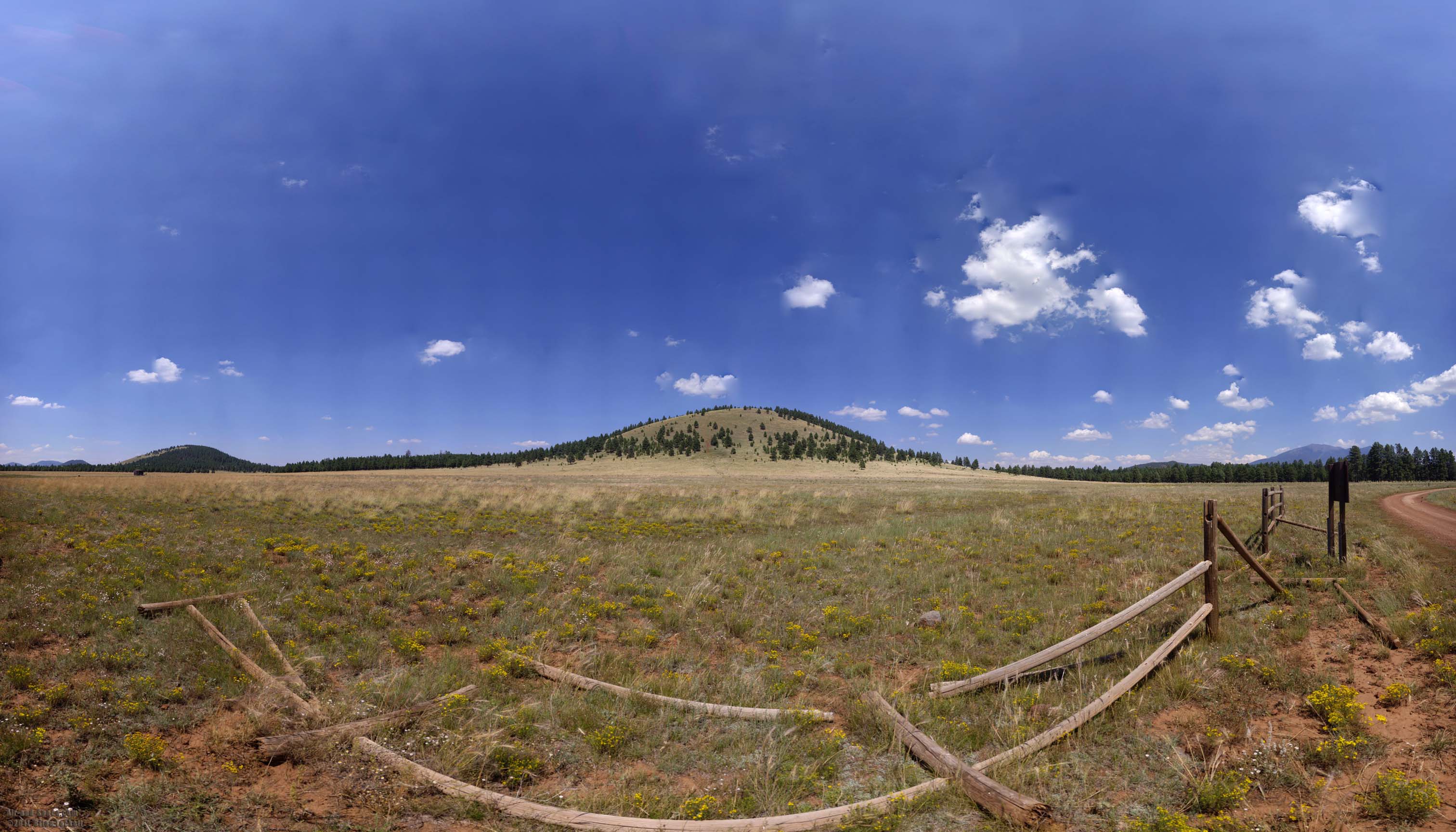
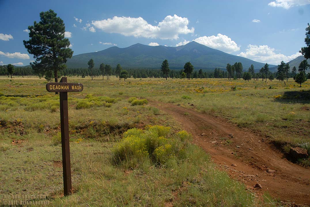 Deadman Wash is located on the north side of the San Francisco peaks.
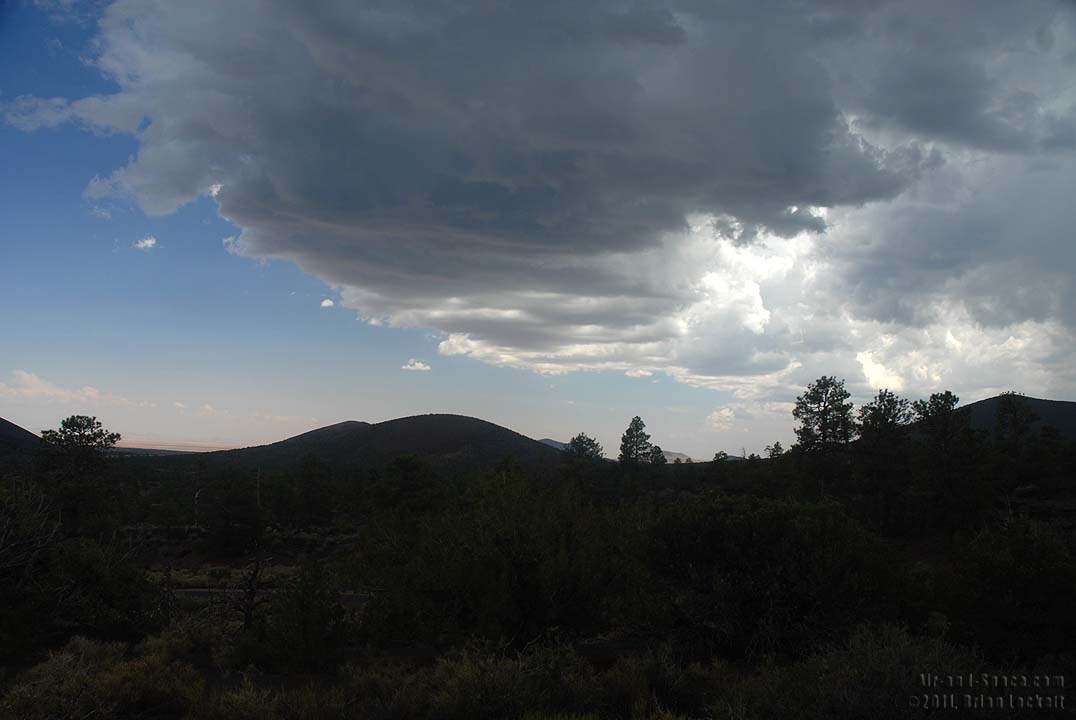 Thunderheads building over the San Francisco Peaks cast a giant shadow on the overlook as the Painted Desert baked under a cloudless sky in the distance.
 The shadow of the thunderheads also shaded all of Wupatki National Monument.
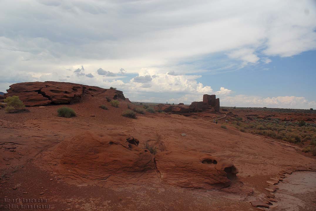
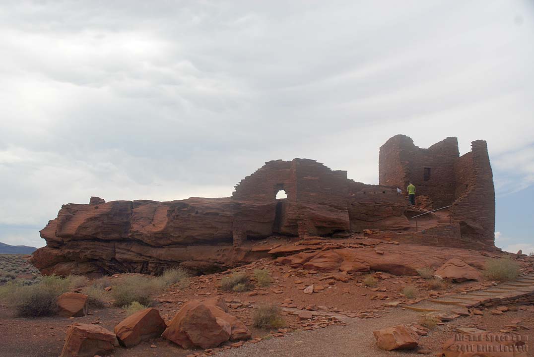
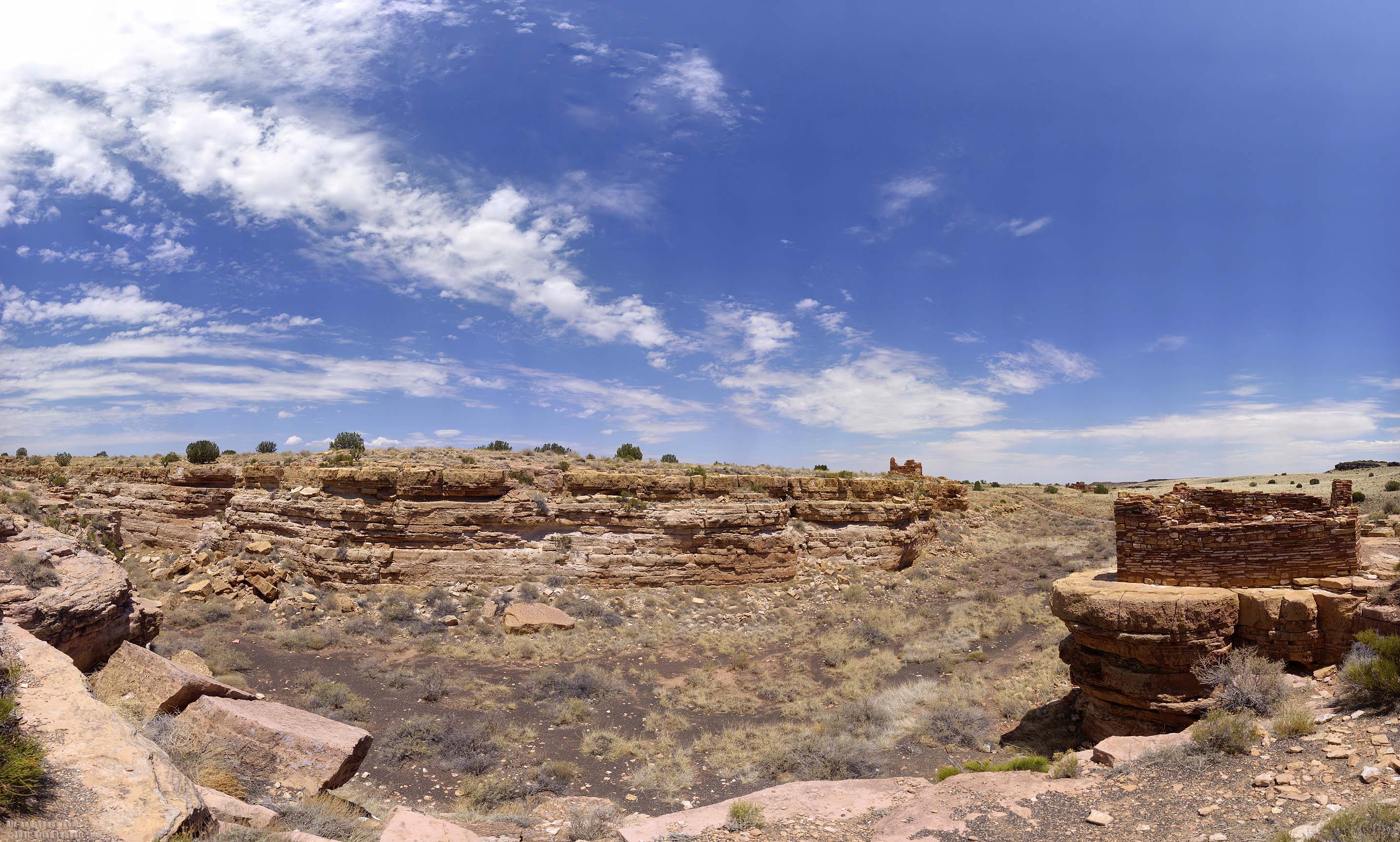
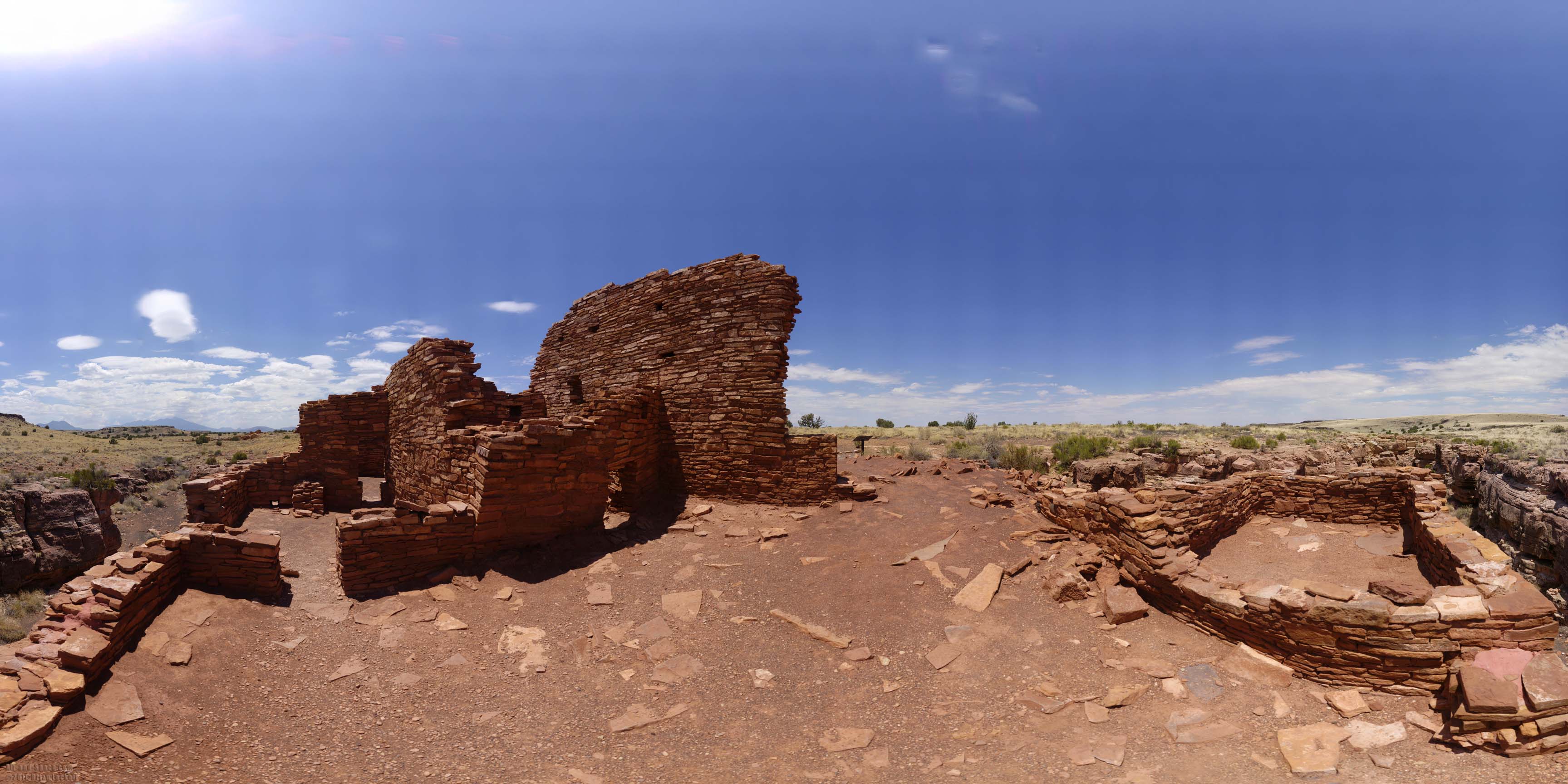
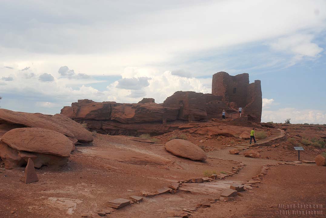 The Wokaki Dwelling was built on a sandstone outcrop next to a ravine The sandstone is part of the Wupatki member of the Moenkopi Formation. It is a lower Triassic deposit, about 240 million years old..
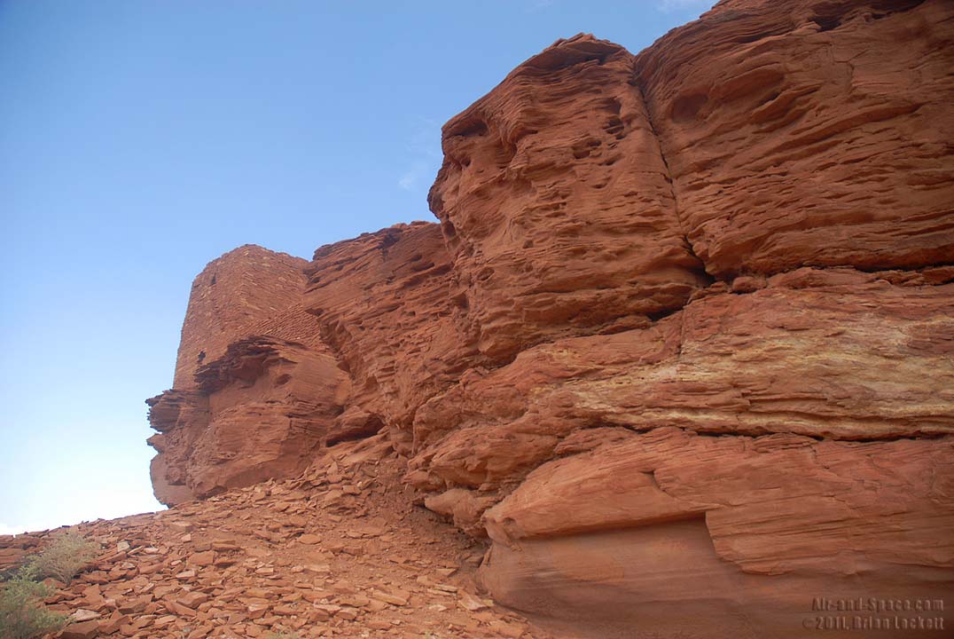
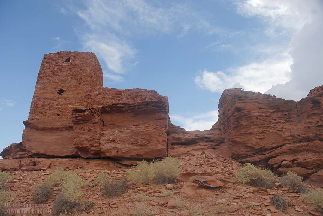
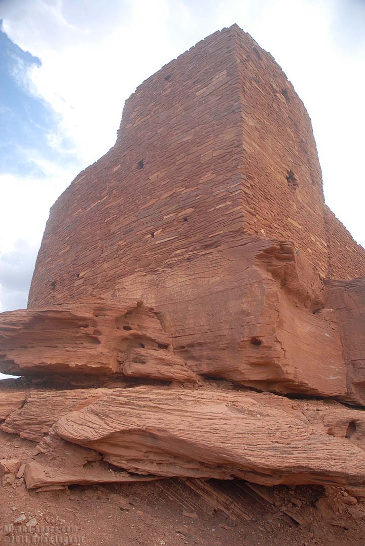
 The sandstone in the foreground still shows ripple marks from the stream in which it was depostied 240 million years ago.
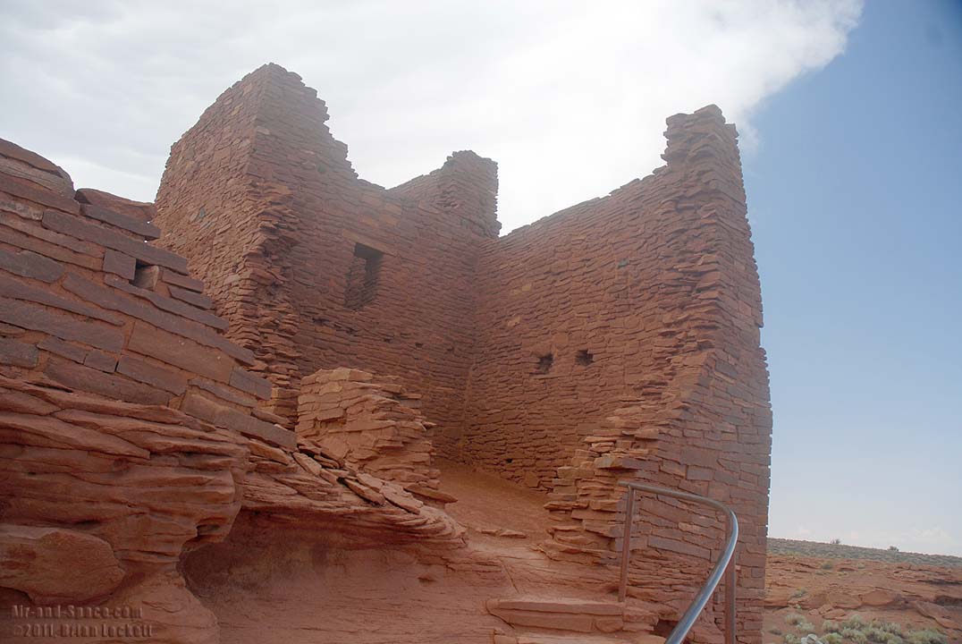
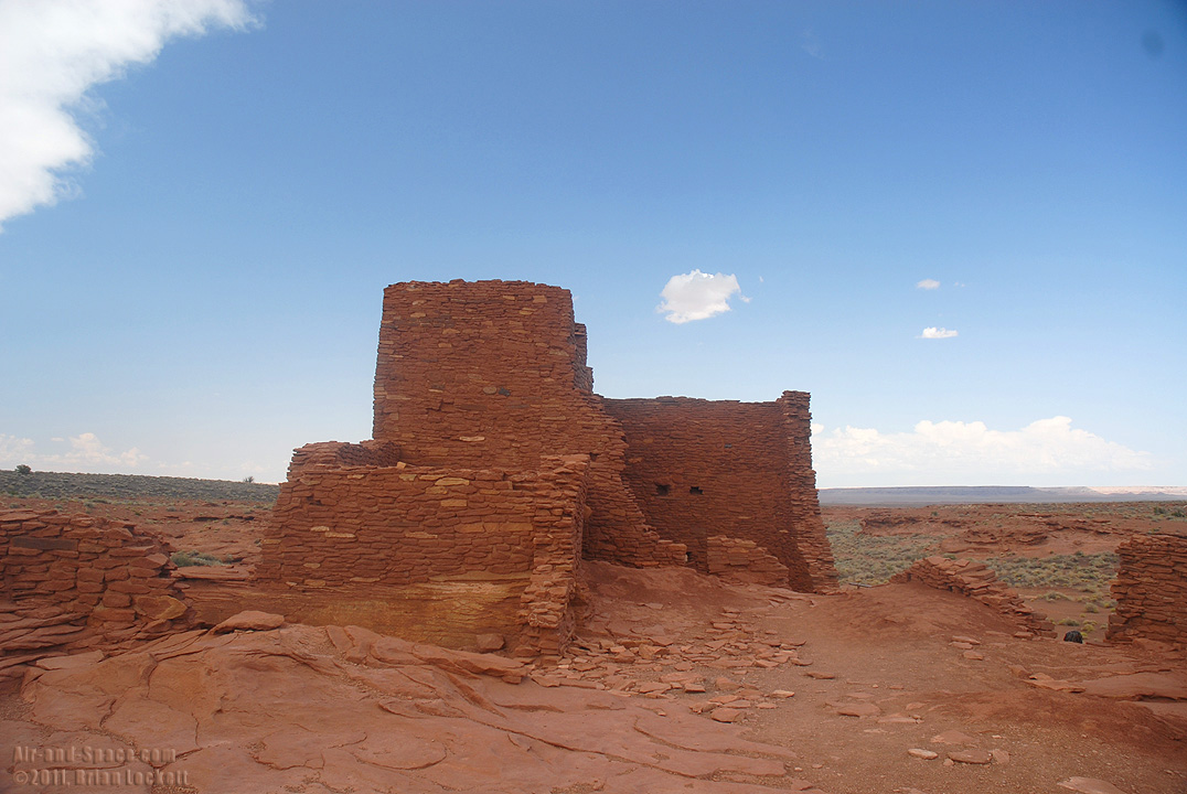
The rock dwellings of Wupatki National Monument were built and abandoned by the Sinagua people hundreds of years before the arrival of the first European explorers.
This photo is available as prints as large as four feet by seven feet.
This photo is available as prints as large as four feet by eight feet.
Arizona Panoramas slideshow video |
View my panoramic Arizona landscape photography. These panoramas are stitched together from multiple images to produce very wide angle, high resolution images. Many of these panoramas were taken with the assistance of a Gigapan robotic camera mount. Some of them were assembled from over 500 pictures and could be printed over four feet tall. Part 1 shows panoramas taken from December 2008 to August 2010.
View my panoramic Arizona landscape photography. Part 2 shows panoramas taken from August 2010 to July 2011.
- advertisement -
You can buy a 2012 Calendar featuring my very wide angle photographs of Arizona landmarks.
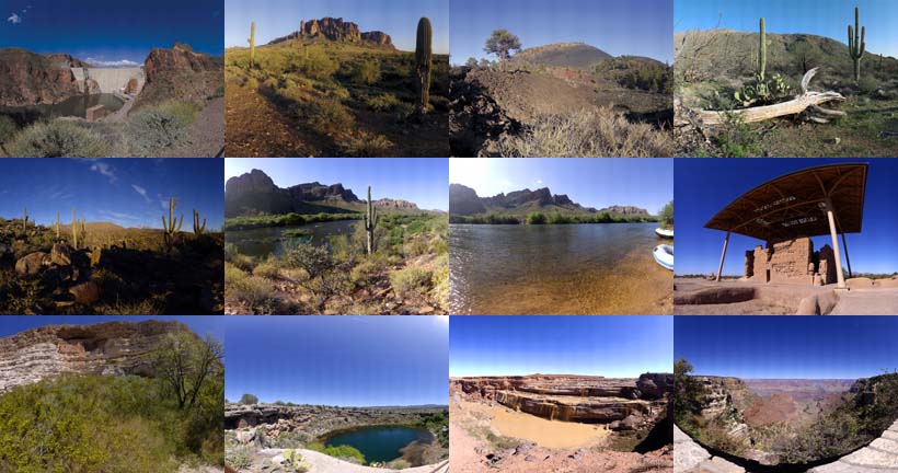
A dozen very wide angle 9-1/2" x 13-1/2" photographs of Arizona landmarks.
Roosevelt Dam
Superstition Mountains
Sunset Crater
Saguaro National Park
Four Peaks
Bulldog Canyon
Salt River
Casa Grande
Montezuma's Castle
Montezuma's Well
Grand Falls
Grand Canyon
 Put a copy of the Wide Open Spaces of Arizona: 2012 Calendar in your Lulu.com shopping cart for $28.95.
- advertisement -
Send a message to Brian.